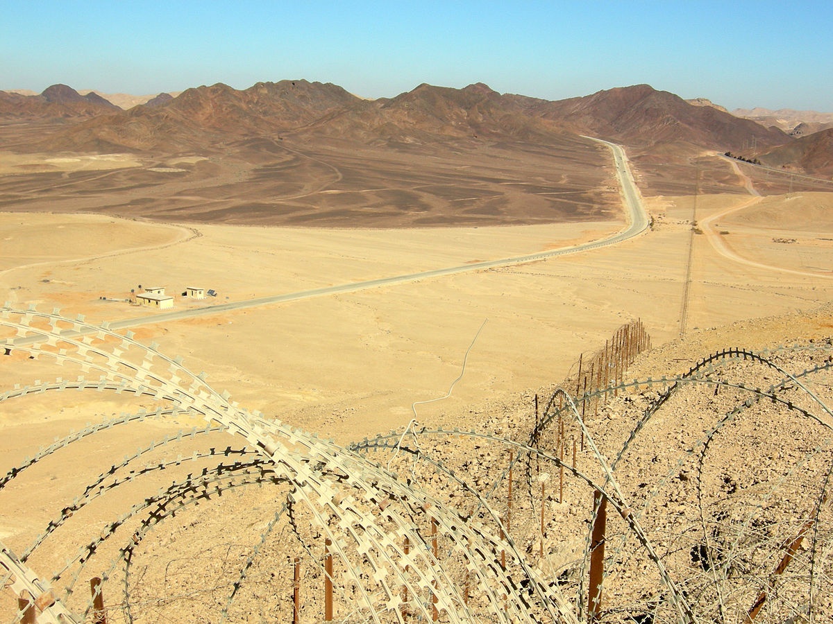
Border area monitoring
International concern for illegal migration is high, as a consequence of tragical events which involve the life of migrants and of fears of crime increase due to mismanagement of migration fluxes. Western countries governments are called to develop realistic and effective strategies to face such a situation: geopolitical schemes and natural assets management have to be addressed globally to minimise risks of crises and massive displacements.
Risk assessment satellite capacities also play a role in global routine surveillance. This asset is applied to international border and transportation hubs control. Surveillance systems make use on archived satellite imagery and real-time remote sensing tracking, combined with other tools, letting authorities detect and monitorthe effects of illegal practices such as piracy, but also illegal immigration through land borders (1).
Several European research projects have demonstrated the possibilities offered by satellite technologies in improving border surveillance: in the context of the GMES preparatory pahse for example G-MOSAIC had exactly this objective. International strategies in relation to border surveillance has the objectives of decreasing illegal immigration, lower risks of death for migrants and increase internal security by preventing cross border crimes (2).
Both early-warning systems and archived data are important to intervene and analyse the causes of regional crises. Remote sensing data increase the probabilities of intervention to be successful, improving the proactive formulation of adaptive strategies based on up-to date observation. A better understanding of the reasons that lead to migration strands could help authorities in more timely intervention which could help migrants not being obliged leaving their countries of origins. The factors to study are wapons proliferation, conflicts related to governance of natural resources, population pressure, land degradation and illegal activities at large (3). Crisis and emergency interventions can also benefit from remote sensing information and, if done properly, can help affected people in their own territories reducing incentives for massive displacement.
Monitoring and surveillance support situation awareness in border areas and along migration routes or temporary settlements. Main identified users are public, civil security and military stakeholders. Pilot projects have focused on Eastern Europe and Central Africa (4). Such services can produce
- Border Permeability maps showing which borders can be easily crossed
- Extended Border Permeability maps which integrate the above with a trafficability map
- Change Detection maps which compares different border situations across time
- Reference maps which can provide general background material for analyses and comparisons (specific ones are Reference Population Distribution maps and Reference Road Network maps)
References
(2) http://www.copernicus.eu/pages-principales/services/security/
(3) http://www.copernicus.eu/pages-principales/services/security/g-mosaic/

This page has no comments.