Satellite Description
Sentinel-1, first launched in in 2014, is the first satellite constellation of the Copernicus Program funded by ESA. Sentinel-1A is still functional, and from 2016 to 2021 Sentinel-1B was part of this constellation. A third satellite, Sentinel-1C, is planned for the final quarter of 2024. The Sentinel–1 constellation is sun synchronous with a 12 day revisit cycle. Sentinel-1 operates day and night with a C-Band SAR Instrument in a pre-programmed operational mode to ensure a fault free and continuous archive of data. Data is acquired through transmitting and receiving signals in various combinations of vertical (V) and horizontal (H) polarizations.
Observation Scenario
• Swath width: Depends on acquisition mode (see Sensor Characteristics)
• Orbit: Sun-synchronous
• Inclination: 98.2°
• Altitude: 693 km
• Lifetime: 7 years
Sensor Characteristics
Polarizations:
- • VV
- • HH
- • VV + VH
- • HH + HV
Four data acquisition modes:
- • Stripmap (SM): Standard stripmap imaging mode, ground swath continuously illuminated. High resolution. 80 km swath.
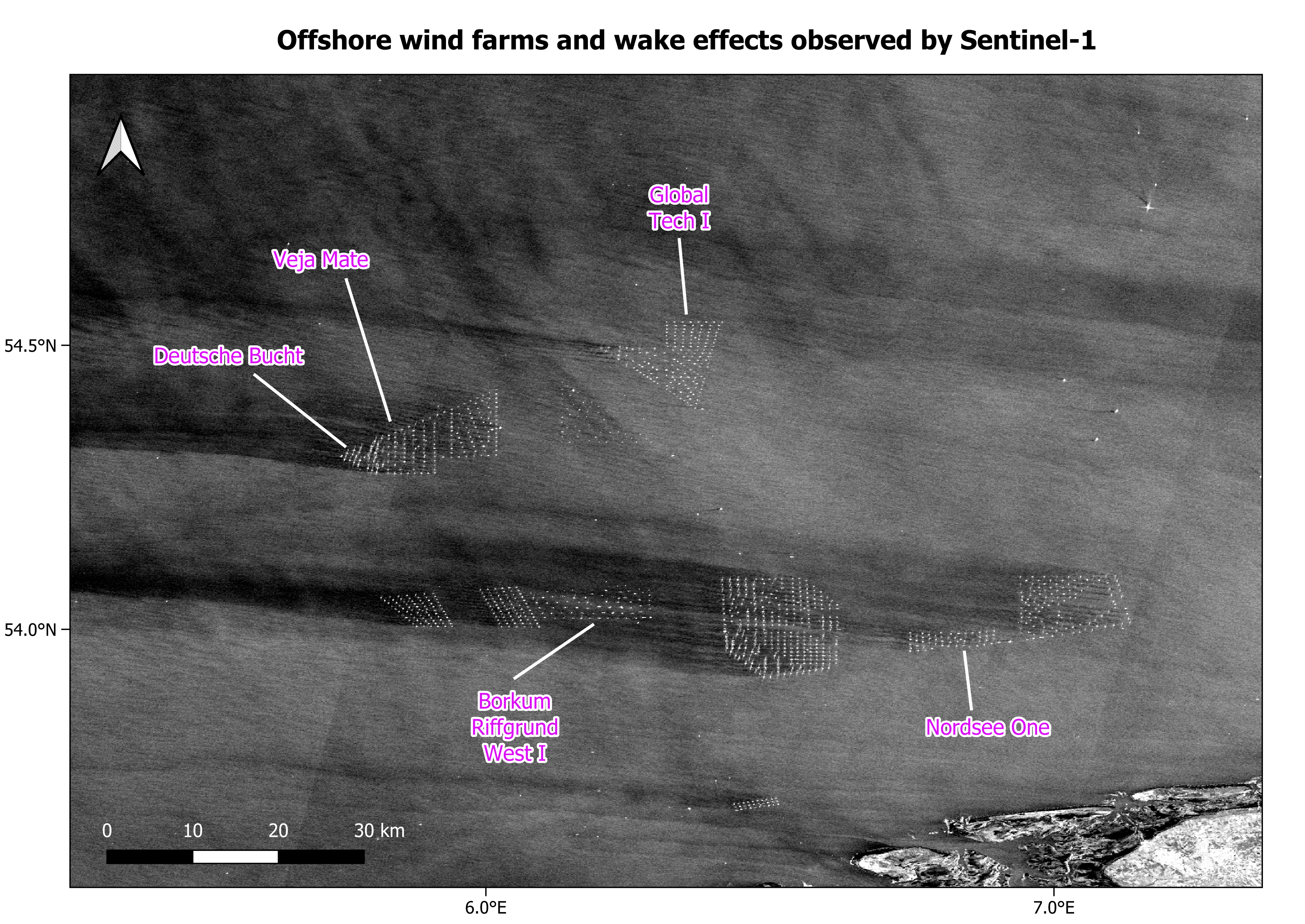
- • Interferometric Wide Swath (IW): Data acquired in three swaths using Terrain Observation with Progressive Scanning SAR (TOPSAR) imaging technique. Used to ensure alignment of interferometric image pairs. High resolution. 250 km swath.
- • Extra Wide Swath (EW): Data is acquired in five swaths. Medium resolution. 410 km swath.
- • Wave (WV): Data acquired in smaller scenes called ‘vignettes’, images are created through alternating between one vignette at near incident angle and another from a far incident angle. 20 km swath.
Spatial Resolution
• SM: Better than 5 x 5 m.
• IW: 5 x 20 m.
• EW: 20 x 40 m.
• WV: 5 x 5 m.
Temporal Resolution
12 days, better at high latitudes.
Data Products
• L0 RAW – compressed and unprocessed sensor data.
• L1 SLC – focused, georeferenced data in slant-range geometry. Preserves phase and amplitude information.
• L1 GRD – focused, detected, multi-looked and projected to ground range. Phase information is lost. Approximately square resolution cells.
• L2 OCN – Ocean Wind field (OWI), Ocean Swell spectra (OSW) and Surface Radial Velocity (RVL) products. Availability varies across acquisition modes.
Archive Availability
Data is freely available:
- • Period: 2014 – present
- • Latency: 24 hours
- • Sources:
- • Copernicus Dataspace Ecosystem
- • Sentinel Hub
- • Google Earth Engine (GRD products only)
- • Planetary Computer (GRD products only)
Data Continuity
The Sentinel-1 mission compliments the ERS and ENVISAT missions. Currently, Sentinel-1A is the only operational satellite. Sentinel-1C is set to launch in December 2024. It will replace Sentinel-1B. Sentinel-1C will carry a new Automatic Identification System (AIS) which will increase ship monitoring capabilities. For further reading on the Sentinel-1 mission and data products see here.
This page has no comments.