| Name
|
Size
|
Creator |
Creation Date
|
Last Modification Date
|
Labels |
Attached To |
|
JPEG File images.jpg |
6 kB |
Christopher Oligschläger |
Jun 10, 2020 12:44 |
Jun 10, 2020 12:44 |
|
Page: Unmanned Aerial Vehicle (UAV)
|
|
JPEG File Satellite_Galileo.jpg |
462 kB |
Christopher Oligschläger |
Jun 10, 2020 12:44 |
Jun 10, 2020 12:44 |
|
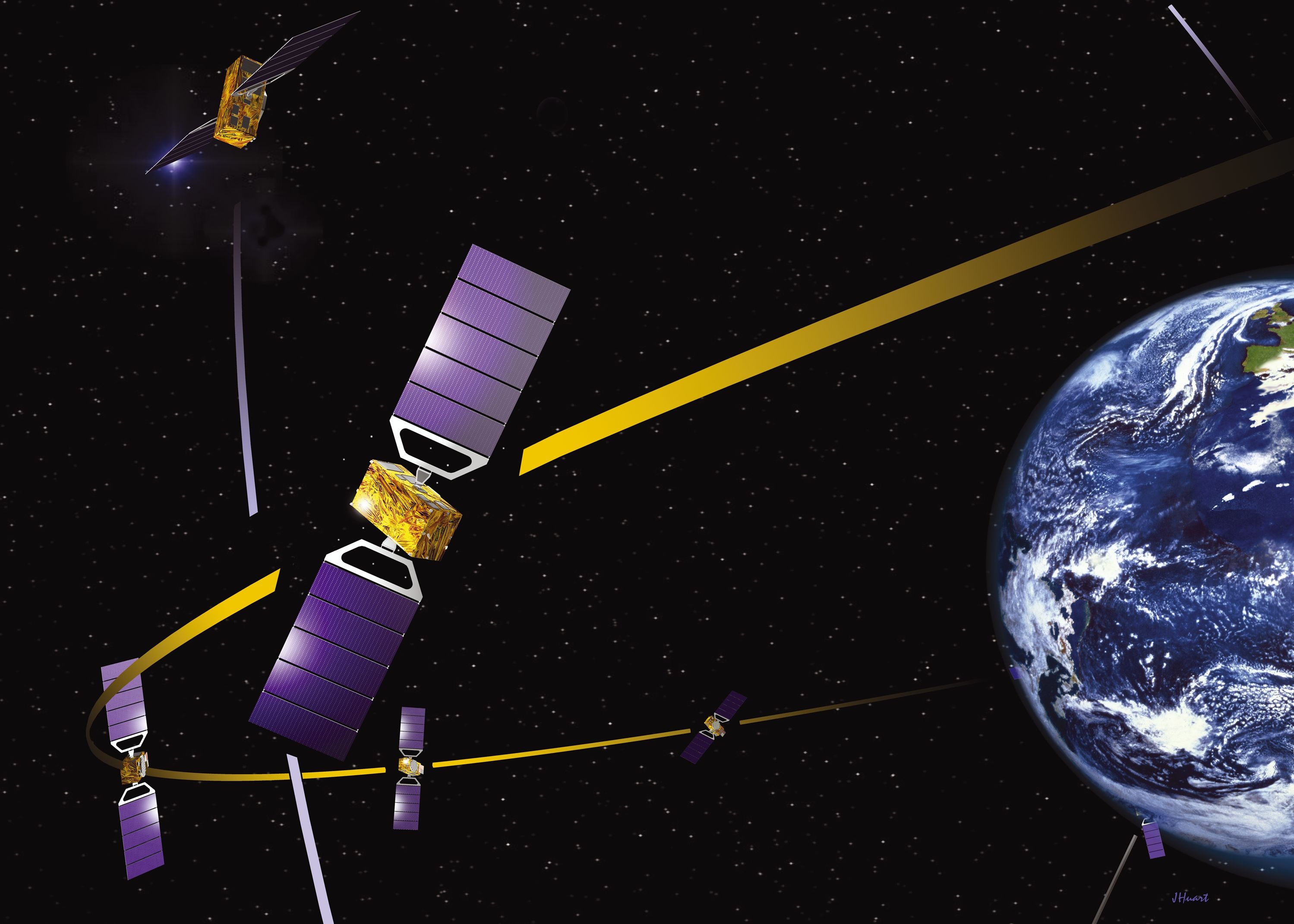
Page: Satellite positioning: GNSS & Satellite-AIS
|
|
JPEG File Sicily_probaV.jpg |
344 kB |
Christopher Oligschläger |
Jun 10, 2020 12:44 |
Jun 10, 2020 12:44 |
|
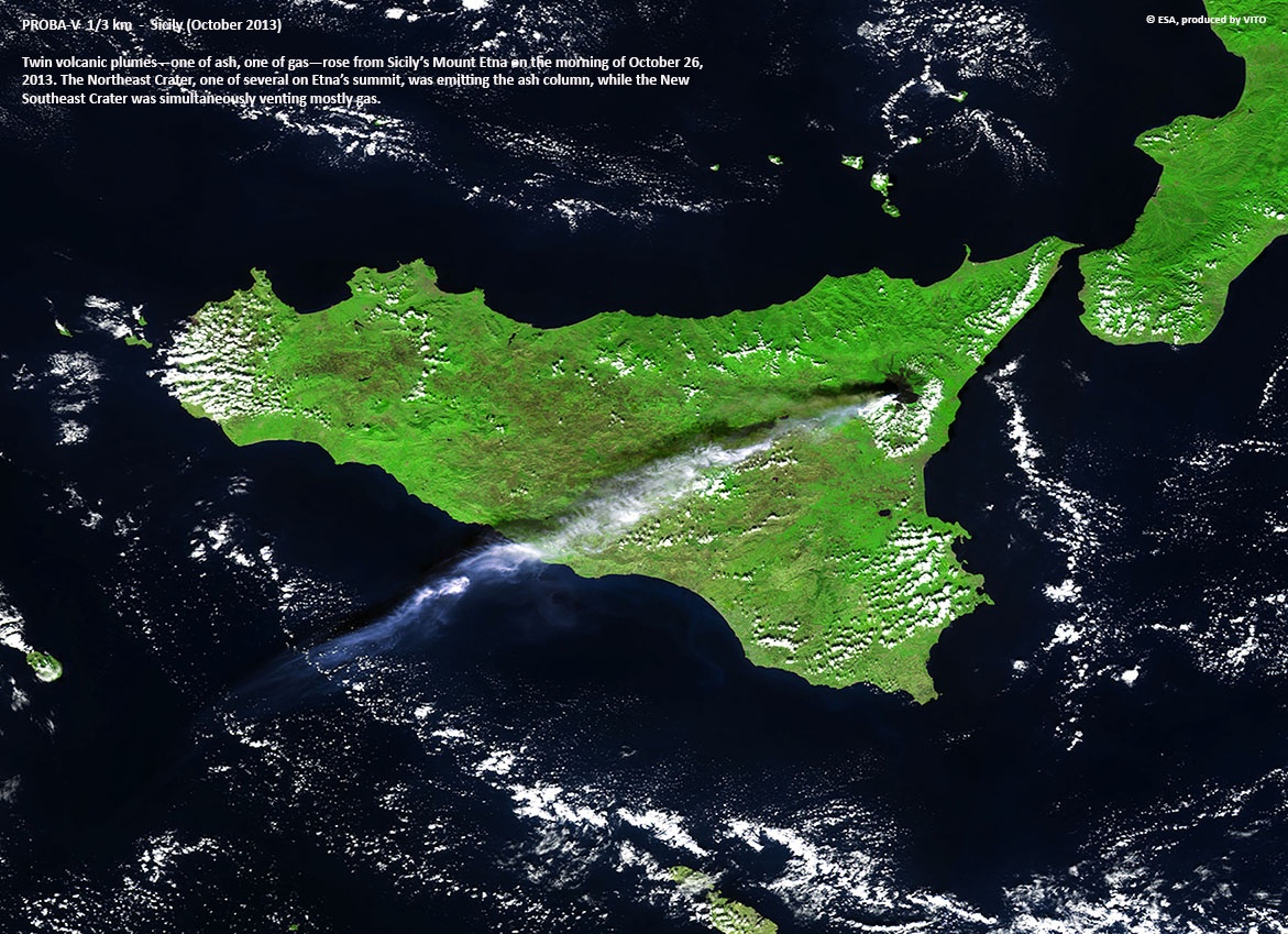
Page: Satellite imagery
|
|
JPEG File first-man-on-moon-walking-on-the-moon_w725_h549.jp… |
96 kB |
Christopher Oligschläger |
Jun 10, 2020 12:44 |
Jun 10, 2020 12:44 |
|
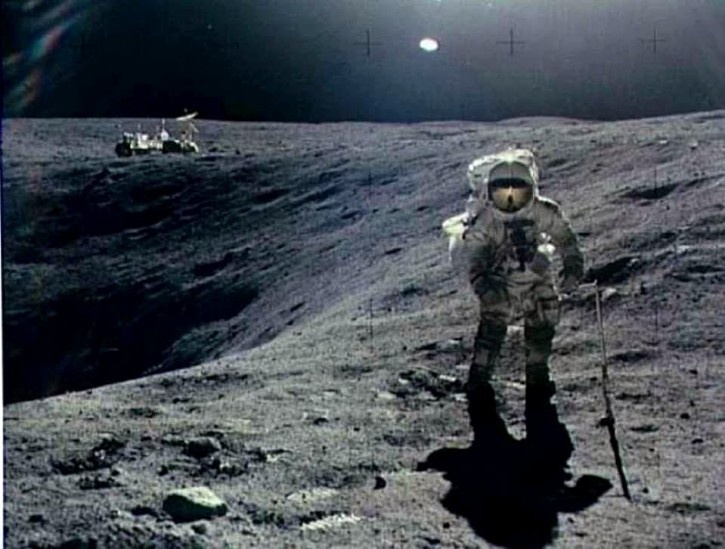
Page: Satellite communication
|
|
PNG File screenshot_2.png |
458 kB |
Christopher Oligschläger |
Jun 10, 2020 12:43 |
Jun 10, 2020 12:43 |
|
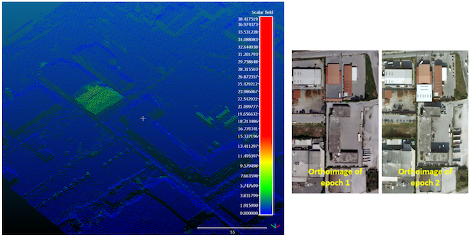
Page: INDES MUSA. Change detection using LiDAR point clouds and orthoimages
|
|
PNG File screenshot_1.png |
902 kB |
Christopher Oligschläger |
Jun 10, 2020 12:43 |
Jun 10, 2020 12:43 |
|
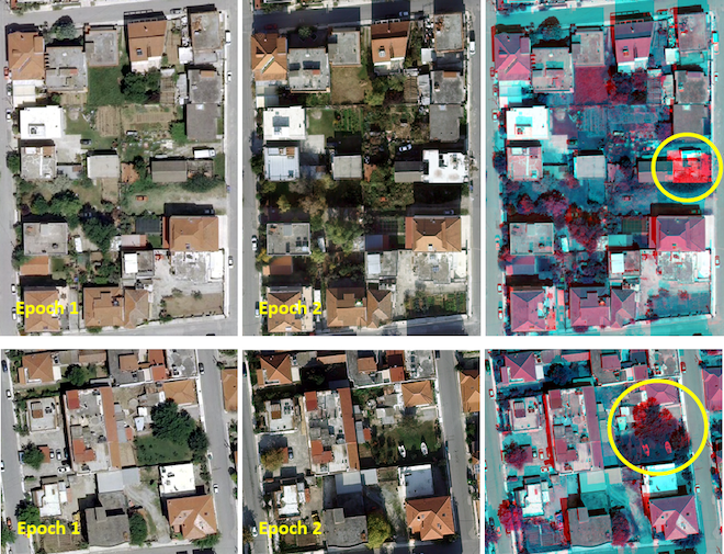
Page: INDES MUSA. Change detection using LiDAR point clouds and orthoimages
|
|
PNG File image2016-2-3 12:46:8.png |
540 kB |
Christopher Oligschläger |
Jun 10, 2020 12:43 |
Jun 10, 2020 12:43 |
|
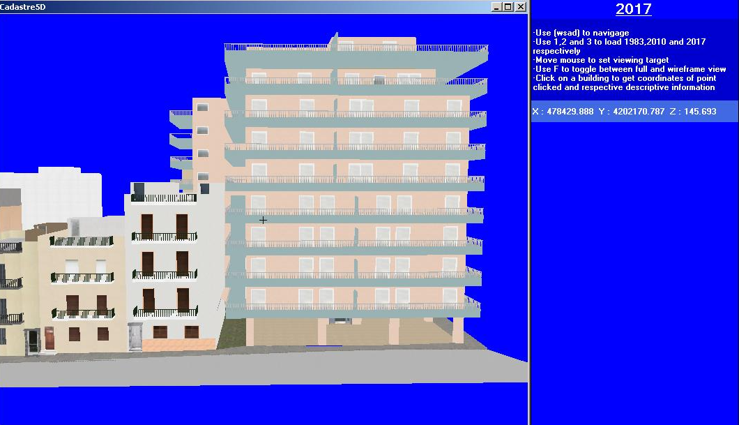
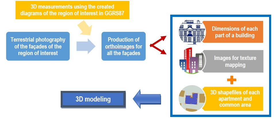
Page: Dimensions Multi-Purpose Land Information System - 5DMuPLIS
|
|
PNG File image2016-2-3 12:44:39.png |
1.26 MB |
Christopher Oligschläger |
Jun 10, 2020 12:43 |
Jun 10, 2020 12:43 |
|
Page: Dimensions Multi-Purpose Land Information System - 5DMuPLIS
|
|
PNG File image2016-2-3 12:44:16.png |
305 kB |
Christopher Oligschläger |
Jun 10, 2020 12:43 |
Jun 10, 2020 12:43 |
|
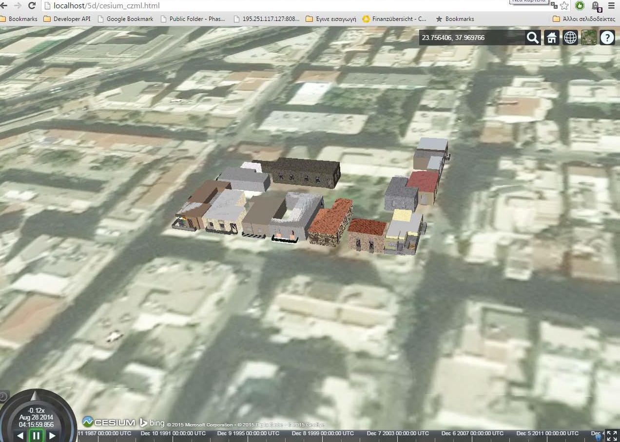
Page: Dimensions Multi-Purpose Land Information System - 5DMuPLIS
|
|
PNG File image2016-2-3 12:43:2.png |
305 kB |
Christopher Oligschläger |
Jun 10, 2020 12:43 |
Jun 10, 2020 12:43 |
|
Page: Dimensions Multi-Purpose Land Information System - 5DMuPLIS
|
|
PNG File image2016-2-3 12:41:55.png |
305 kB |
Christopher Oligschläger |
Jun 10, 2020 12:43 |
Jun 10, 2020 12:43 |
|
Page: Dimensions Multi-Purpose Land Information System - 5DMuPLIS
|
|
PNG File image2016-2-3 12:41:26.png |
15 kB |
Christopher Oligschläger |
Jun 10, 2020 12:43 |
Jun 10, 2020 12:43 |
|
Page: Dimensions Multi-Purpose Land Information System - 5DMuPLIS
|
|
PDF File EO-MAG_5DMuPLIS.PDF |
489 kB |
Christopher Oligschläger |
Jun 10, 2020 12:43 |
Jun 10, 2020 12:43 |
|
Page: Dimensions Multi-Purpose Land Information System - 5DMuPLIS
|
|
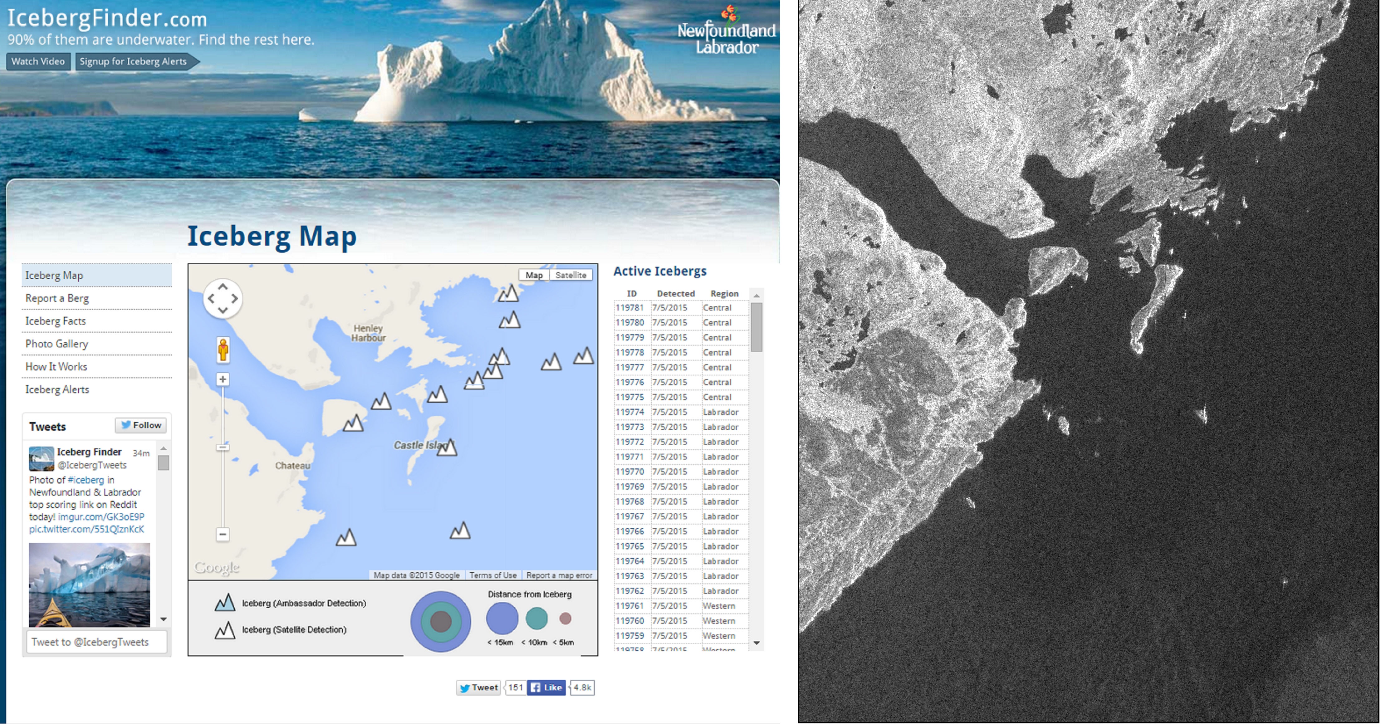
JPEG File icebergfinder_S1A_v2.jpg |
1.69 MB |
Christopher Oligschläger |
Jun 10, 2020 12:43 |
Jun 10, 2020 12:43 |
|
Page: Iceberg Detection Software (IDS)
|
|
PNG File mail.google.com.png |
14 kB |
Christopher Oligschläger |
Jun 10, 2020 12:43 |
Jun 10, 2020 12:43 |
|
Page: Iceberg Detection Software (IDS)
|
|
PNG File image2015-7-6 10:5:14.png |
10 kB |
Christopher Oligschläger |
Jun 10, 2020 12:43 |
Jun 10, 2020 12:43 |
|
Page: Polaris
|
|
PNG File image2015-7-6 10:4:58.png |
33 kB |
Christopher Oligschläger |
Jun 10, 2020 12:43 |
Jun 10, 2020 12:43 |
|
Page: Polaris
|
|
PNG File image2015-7-6 10:4:43.png |
31 kB |
Christopher Oligschläger |
Jun 10, 2020 12:43 |
Jun 10, 2020 12:43 |
|
Page: Polaris
|
|
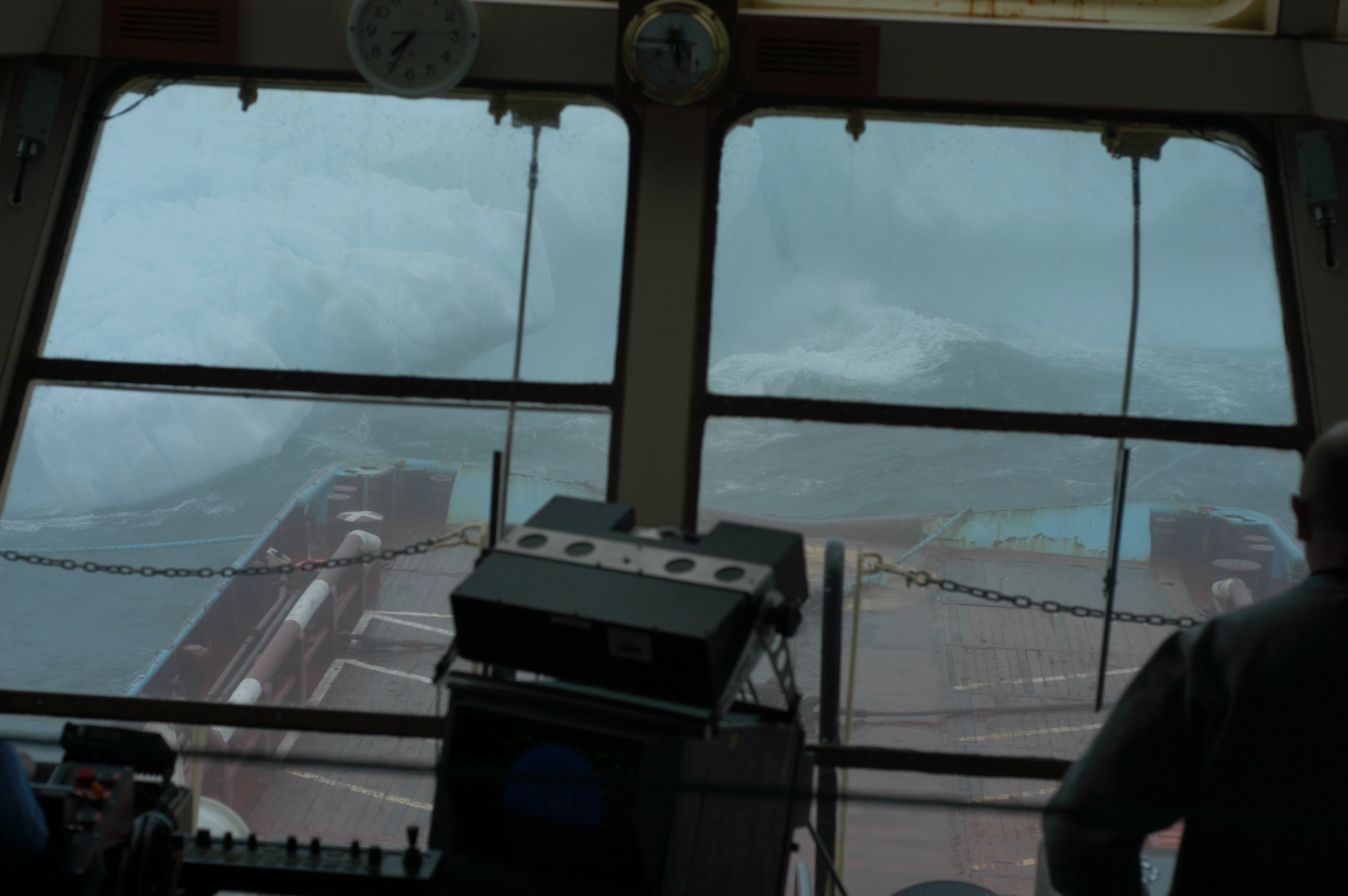
JPEG File IcebergFromShipsBridge (Coutesy C-CORE).JPG |
1.99 MB |
Christopher Oligschläger |
Jun 10, 2020 12:43 |
Jun 10, 2020 12:43 |
|
Page: Polar Thematic Exploitation Platform (P-TEP)
|
|
GIF File esa.gif |
10 kB |
Christopher Oligschläger |
Jun 10, 2020 12:43 |
Jun 10, 2020 12:43 |
|
Page: Polar Thematic Exploitation Platform (P-TEP)
|