Solar energy mapping
Each country in the world needs to secure energy supply for its citizens and to do that in a more sustainable way is the way forward for years to come. The target of reducing global greenhouse gases emissions calls for worldwide efforts in the renewable energy domain. Make alternative sources of energy more stable and efficient is crucial for securing the technological shift from fossil fuels to clean energy production.
At a global scale the photovoltaic market remained stable also during the crisis, even if there was a European decline offset by a market growth outside Europe. A recent report released by the European Photovoltaic Industry Association (1) underlines future challenges for the sector, which maintains nonetheless an important potential for growth. Together with policy support, what proves to be a determining factor is efficiency in the designing and maintainance of solar plants.
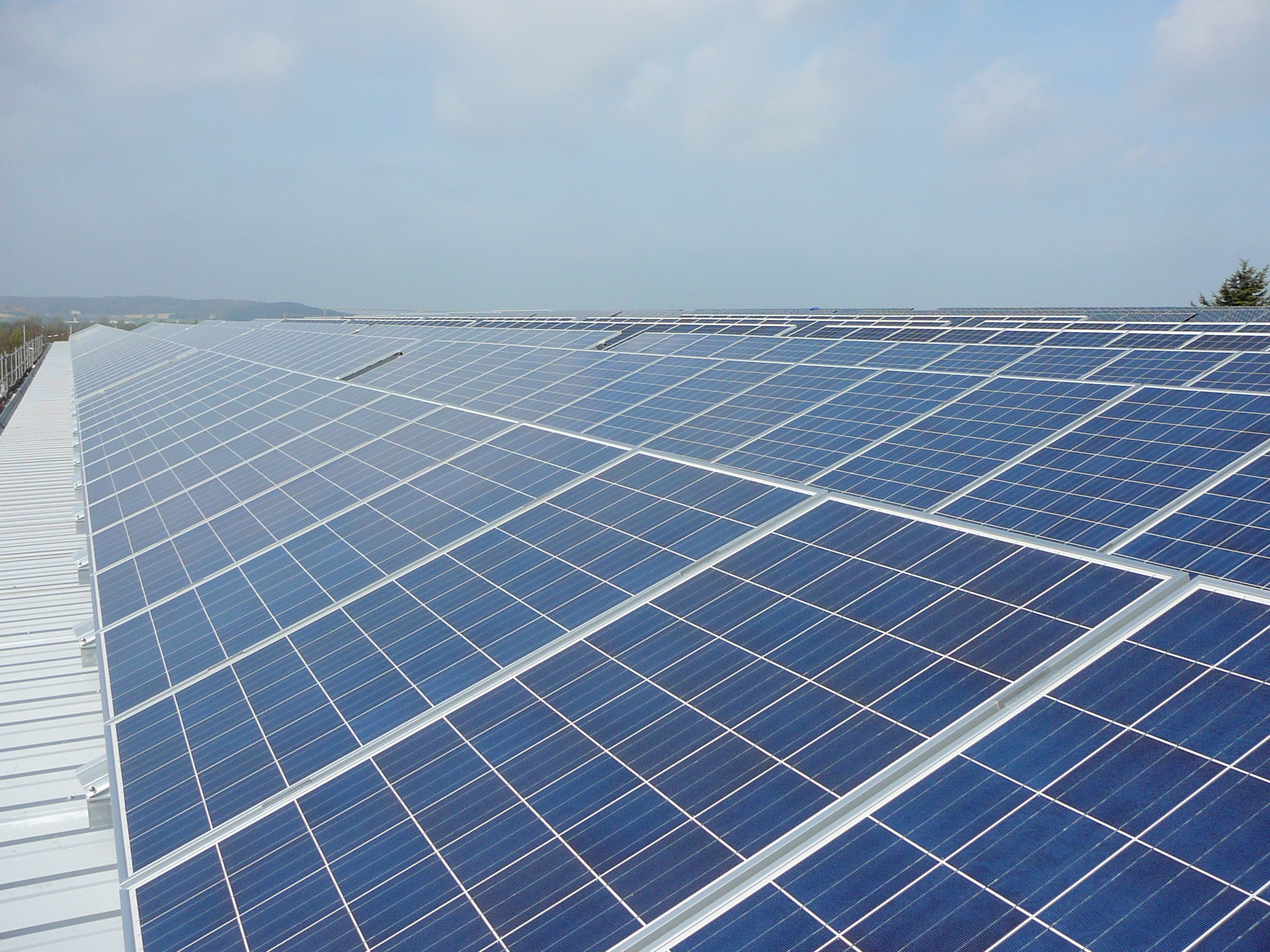
Credits: ChristofferRiemer
Solar energy provides clean economic and potentially unlimited power: today's technologies mainly use solar power through Solar Photovoltaics or solar termal energy. Earth observation can provide data to feed solar maps, a commonly used tool in the design of photovoltaics installations.
Photovoltaic Geographical Information System are spatial databases which convey solar radiation models data with a geographical outlook. They represent cost-efficient and accurate estimations of radiation over wide geographical area and they offer information on slope inclination, aspects and shadowing effects. Solar maps provide average daily solar resource information on grid cells. Insolation values are provided for commonly used orientations in PV system installation. (2)
Different environmental data and models can be used to build the maps. The most important data for the planning process are solar radiation statistics which can be derived from climatologic data. Other parameters to be considered are surface inclination orientation and shadowing effects. Environmental data can be combined with socio-economic statistics to build more complex models and develop scenarios.
Spatially continued irradiance values can be derived direclty from geostationary or polar-orbiting satellites (3): the values could be less accurate than those coming from ground measurements, but they offer a wide data coverage at high temporal resolution. Technological development and model improvements increase the temporal and spatial resolution and make data usefu alsol for energy-weather forecasting and large scale PV monitoring.
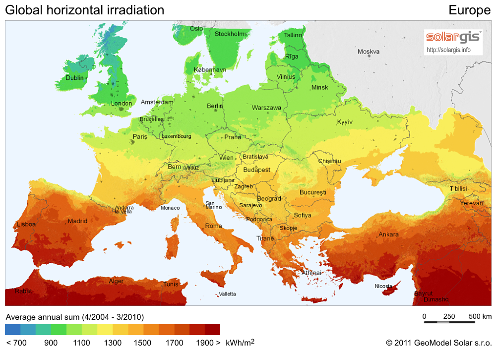 Solar Radiation Map of Europe: Global Horizontal Irradiance Map of Europe, SolarGIS © 2011 GeoModel Solar s.r.o.
References:
(1) EIPA, Global Market Outlook for Photovoltaics 2013-2017.
(2) http://www.nrel.gov/gis/solar.html
(3) http://re.jrc.ec.europa.eu/pvgis/solres/solres.htm
Products | Source | Descriptions | Product Standards | Ref. Project |
|---|---|---|---|---|
irradiance forecast |
| Providing forecast of direct irradiance with a horizon of up to 48 h. |
|
|
|
|
|---|---|---|---|
|
|
|
|
Topic | Description | Keywords | Reference |
|---|---|---|---|
|
|
|
|
This page has no comments.