Product Description
Land cover typically refers to the physical material covering the surface of the Earth in a particular area. Examples include built-up areas, cropland and forests. Land use on the other hand refers to the use of the land cover by people for social or economic purposes. Together these products are considered collectively as land use/land cover (LULC) maps. The maps can be particularly useful for the onshore wind sector as they provide a broad overview of the land upon which wind farms may be developed. They can indicate the proximity of the proposed developments to tree cover as well as built-up areas.
LULC products exist with various temporal and spatial resolutions at both global and regional scales. Global LULC products range from low (> 500 m) to high (10 m) spatial resolution. Low resolution products are based on data from MODIS/Terra + Aqua, while the high resolution products are based on the likes of Landsat and Sentinel-1 and 2 data. Other products exist on continental, regional and national scales. It is also possible to produce thematic LULC products focused on mapping specific land cover types.
Apart from the existence of static LULC products that may be updated once every few years, it is possible to produce LULC products in near real time by continuously monitoring an area of interest. These repeat images can also be used to assess recent changes to land use/land cover. Very-high resolution commercial satellite sensors can also be leveraged for more detailed LULC product generation. This allows information such as building footprints, proximity and small roads to be gathered.
Input Data Sources
Low resolution:
- • MODIS – Aqua/Terra
High resolution:
- • Landsat
- • Sentinel-1, Sentinel-2
Very-high resolution:
- • Pleiades
- • WorldView
- • SPOT 6
- • TerraSAR-X
Required Processing
Processing steps for LULC product generation typically involve extracting features from input satellite data acquired over a set time period. Further features may be extracted from auxiliary input data. Machine learning techniques are used to train a classification model to predict the land class labels. Reliable ground truth data is necessary to ensure sufficient accuracy of classification.
Coverage and Frequency
• Coverage: Global.
• Frequency: LULC products tend to be static unless they are custom product updated regularly, but the following are overpass frequencies for commonly used satellites:
- • Sentinel-2: 6 days
- • Landsat: 16 days
- • Pleiades/WorldView: ~ 2 days
Resolutions
Spatial resolution is dependent on the satellite sensors used to make the measurement as well as any resampling that occurs during the data processing. LULC maps range in spatial resolution from kilometer scales down to below 10 m.
Accuracy and Validations
Accuracy of LULC products is determined through the use of in-situ data. Overall accuracies generally range between 70% and 90% but accuracies of individual classes can vary significantly.
Limitations
• Cloud coverage can impact on the use of optical data.
• Commonly used LULC products can exhibit poor consistency and comparability.
• Commonly used LULC products can lack finer details required for specific applications.
• Certain regions can exhibit insufficient accuracy.
Delivery Format
• GeoTIFF, NetCDF-4, shapefile, other GIS datasets.
Accessibility and Cost
• LULC products derived from freely available satellite products are generally available free of charge. Some examples include:
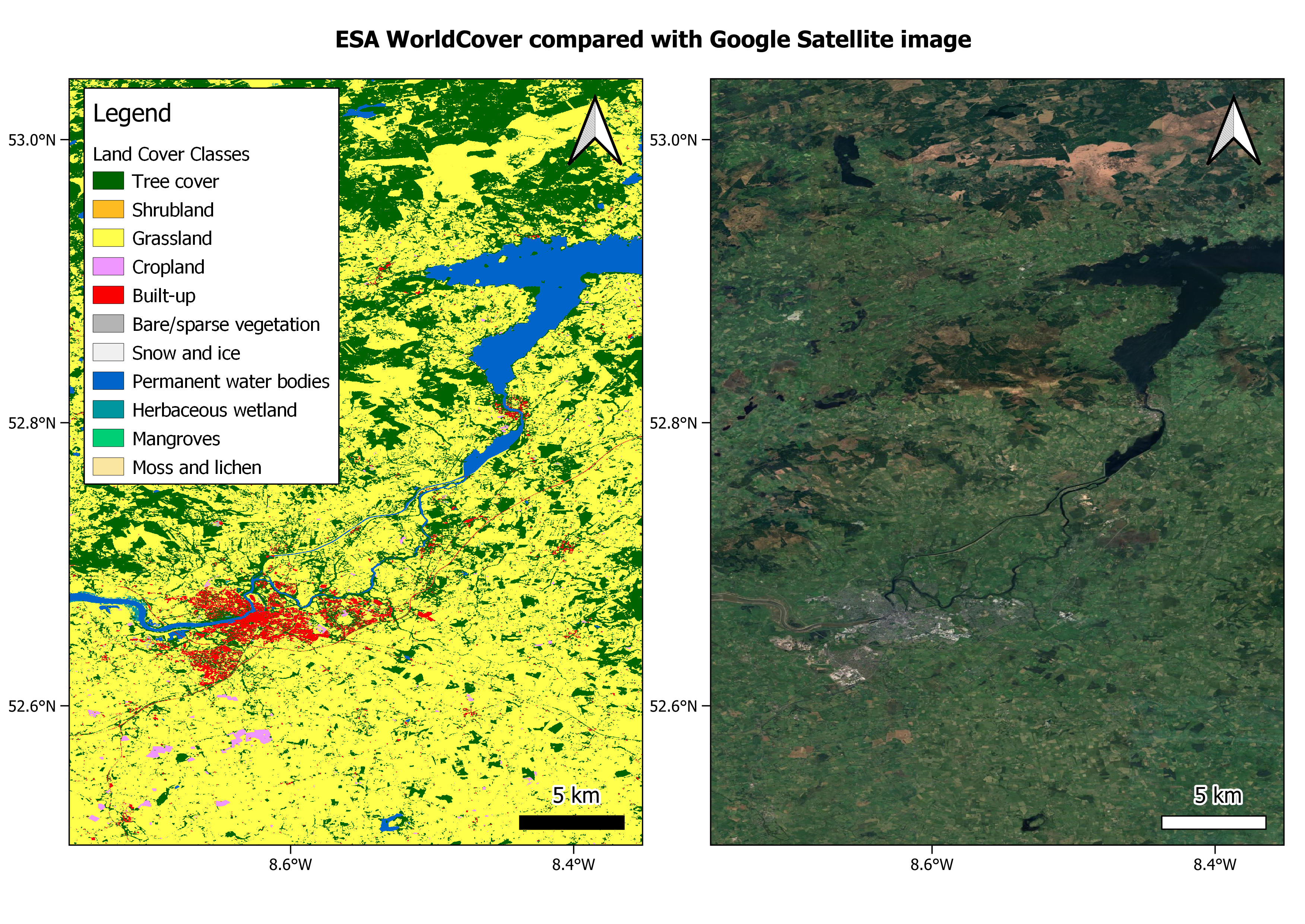
- • ESA WorldCover: WorldCover Viewer
- • ESRI Sentinel-2 10 m: Esri | Sentinel-2 Land Cover Explorer
This page has no comments.