Product Description
The Earth’s surface is in constant motion. Whether due to natural phenomena such as tectonic activity or volcanism, or because of human activities such as groundwater extraction or mining, the dynamism of the surface can have significant impacts on infrastructure and natural ecosystems. In recent years, increasing awareness of the potential risks related to ground motion has led to a demand for comprehensive and reliable information on these movements.
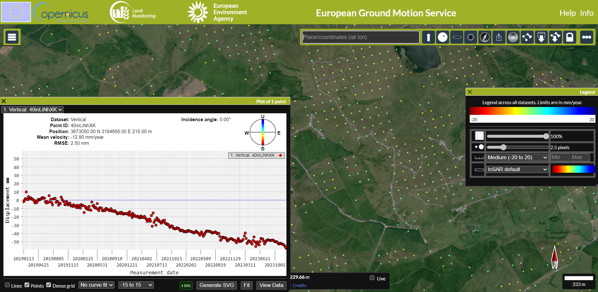
This capability uses Synthetic Aperture Radar Interferometry (InSAR) data to detect and measure ground movements millimeter precision. City, regional, or state authorities can use it to monitor the structural integrities of dams, bridges, railways, and buildings. It allows urban planners to make data-driven decisions about where to build new infrastructure by assessing the likelihood of natural hazards such as landslides or subsidence. Researchers can also use this data to study the impacts of climate change, such as thawing permafrost and coastal subsidence.
This product has the potential for use within the wind sector. There are many cases of landslide occurrences the sites of onshore wind farm developments, leading to destruction of natural landscapes, contamination of nearby rivers, and in some cases, the loss of human life.
- • Viking wind farm, Shetland, Scotland: https://www.scotsman.com/news/viking-wind-farm-shocking-footage-shows-turbulent-river-of-peat-as-landslide-strikes-near-giant-shetland-wind-farm-4622832
- • Donegal, Ireland peat landslide: https://www.bbc.com/news/uk-northern-ireland-foyle-west-54994865
- • Derrysallah wind farm landslide resulted in a fatality: https://www.irishtimes.com/news/crime-and-law/man-dies-in-suspected-landslide-at-wind-farm-in-co-sligo-1.2903750
Input Data Sources
Synthetic Aperture Radar (SAR) data:
- • Sentinel-1
- • TerraSAR-X
- • COSMO-SkyMed
Required Processing
InSAR ground motion monitoring uses phase differences between pairs of collocated SAR images to determine relative change between satellite overpasses. InSAR requires single look complex (SLC) SAR data which generally contain a significant amount of information and can be rather large. There a number of standard pre-processing steps that prepare SAR data for this analysis. These include burst splitting, apply precise orbit information, back-geocoding, debursting, interferogram generation and phase unwrapping. These steps require expert knowledge and are performed by specific software packages and tools. More advanced multi-temporal InSAR techniques include the short baseline subset (SBAS) and persistent scatterer (PS) techniques.
Coverage and Frequency
• Coverage: Global.
• Frequency: Dependent on satellite overpass rate – usually between 2 and 12 days.
Resolutions
• Spatial resolution: Dependent on satellite data resolution – between 1 and 100 m
• Mean velocity resolution: Better than 1 mm/year
Accuracy and Validations
• The InSAR technique depends strongly on high coherence between interferometric pairs when monitoring subtle changes over time. High coherence areas include urban areas and rocky terrain. Vegetation introduces challenges and requires more rigorous processing techniques.
• Measurement accuracy is generally on the order of millimetres per year. Measurements from GPS campaigns can be used to validate this technique.
• Spatial accuracy depends on the resolution of the satellite data used in the analysis.
Limitations
• Cannot account for North-South movements.
Delivery Format
Outputs are available in many GIS formats such as GeoTIFF, geopackage, shapefile as well as .csv
Accessibility and Cost
Costs depend on the use of free/commercial satellite imagery and the size of the area of interest.
The European Ground Motion Service can be explored as an example product: EGMS
This page has no comments.