Application details page.
When a new lease region is being assessed for hydrocarbon potential, there is also a requirement to assess the challenges associated with operating in the region. This includes an assessment of the start and end dates of the ice season, types of ice that are present, typical ice floe trajectories, date of melt onset and ice breakup and identification of types and severity of ice hazard.
Earth observation can be used to provide information on all these conditions. At the level of providing an overview of the ice environment, it is possible in many cases to make use of geophysical datasets that have already been derived from earth observation, including the following:
- National ice charts. Over the last few decades ice charts have been based predominantly on earth observation imagery, but many extend back well before the satellite era. They are produced by national ice and weather services and many are available from national geophysical data archives. The International Ice Charting Working Group (IICWG) acts as a coordinating body for these products (http://nsidc.org/noaa/iicwg/). Ice charts are particularly valuable in providing a single source for multiple ice parameters extending back many years.
- Sea ice datasets based on earth observation. These are generated predominantly by scientists and include such parameters as ice concentration, ice drift and date of melt onset and many are available from national geophysical data archives or scientific project websites (e.g. http://www.polarview.org/).
These datasets can be used to carry out an assessment of typical and extreme ice conditions in a lease region which can provide a baseline for operational planning and ice management. It is also possible to use these datasets to help provide an understanding of important drivers of ice conditions by linking ice parameters from these datasets to other climate indicators such as atmospheric anomalies (e.g. from regional or global atmospheric reanalyses). The placing of ice conditions in the context of the overall ocean and atmospheric environment is an essential first step to being able to understand the environment. In many cases, studies of this nature may well be available within the scientific literature, and these will provide important context, but in some cases there may be a need to focus analysis to a more specific location as defined by the lease region. These types of studies provide important background for understanding the circumstances under which a region will become subject to severe ice conditions or subject to the presence of particular ice hazards, and will also start to provide insight into the potential impact of climate change.
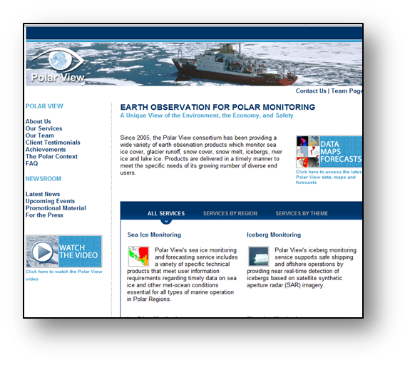
The GMES Polarview service (above) and US National Snow and Ice Data Center (below) have many earth observation – derived sea ice and iceberg products.

References: Dedrick, K., Partington, K.C., Bertoia, C., Van Woert, M. and Benner, D., 2001, "U. S. National/Naval Ice Center Digital Sea Ice Data and Climatology", Canadian Journal of Remote Sensing: Vol. 27, No. 5, October, pp. 457-475
This page has no comments.