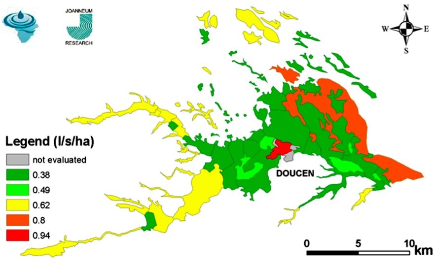
EO based indicators of ground water may provide important data where practical alternatives are not available. Predicting hydrologic behavior at regional scales requires heterogeneous data that are often prohibitively expensive to acquire on the ground.
As a result, satellite-based remote sensing has become a powerful tool for surface hydrology. Subsurface hydrology has yet to realise the full benefits of remote sensing, even though surface expressions of ground water can be monitored from space. Remotely sensed indicators of ground water may provide important data where practical alternatives are not available.
The relevant EO based products include, vegetation and water monitoring maps at basinwide level, rainfall estimates and evapotranspiration and water balance maps, land use / land cover maps and their changes, water abstraction estimation and crop water consumption, digital terrain models and derived products, subsidence mapping and monitoring.
The EO based aquifer monitoring service can improve the management of internationally shared water resources and aquifers. Improved and sustainable management will contribute to
improving the living conditions for the people depending on the groundwater for drinking water and irrigation.
References:
ESA 2013, Earth Observation for Green Growth: An overview of European and Canadian Industrial Capability


This page has no comments.