Monitor mineral resources
The sustainable exploitation of mineral resources is key both for the development and the subsistence of the economic sector and for the world's future in general. Issues arise because of declining mineral reserves, increasing mine depth, lack of new discoveries and reinvestment. Reliable and up-to-date geological data help making more informed investment in improved infrastructure and services. Moreover they are useful for monitoring the environmental impacts of mineral resources exploitation and recovering abandoned sites to new use (e.g. as geotouristic sites).
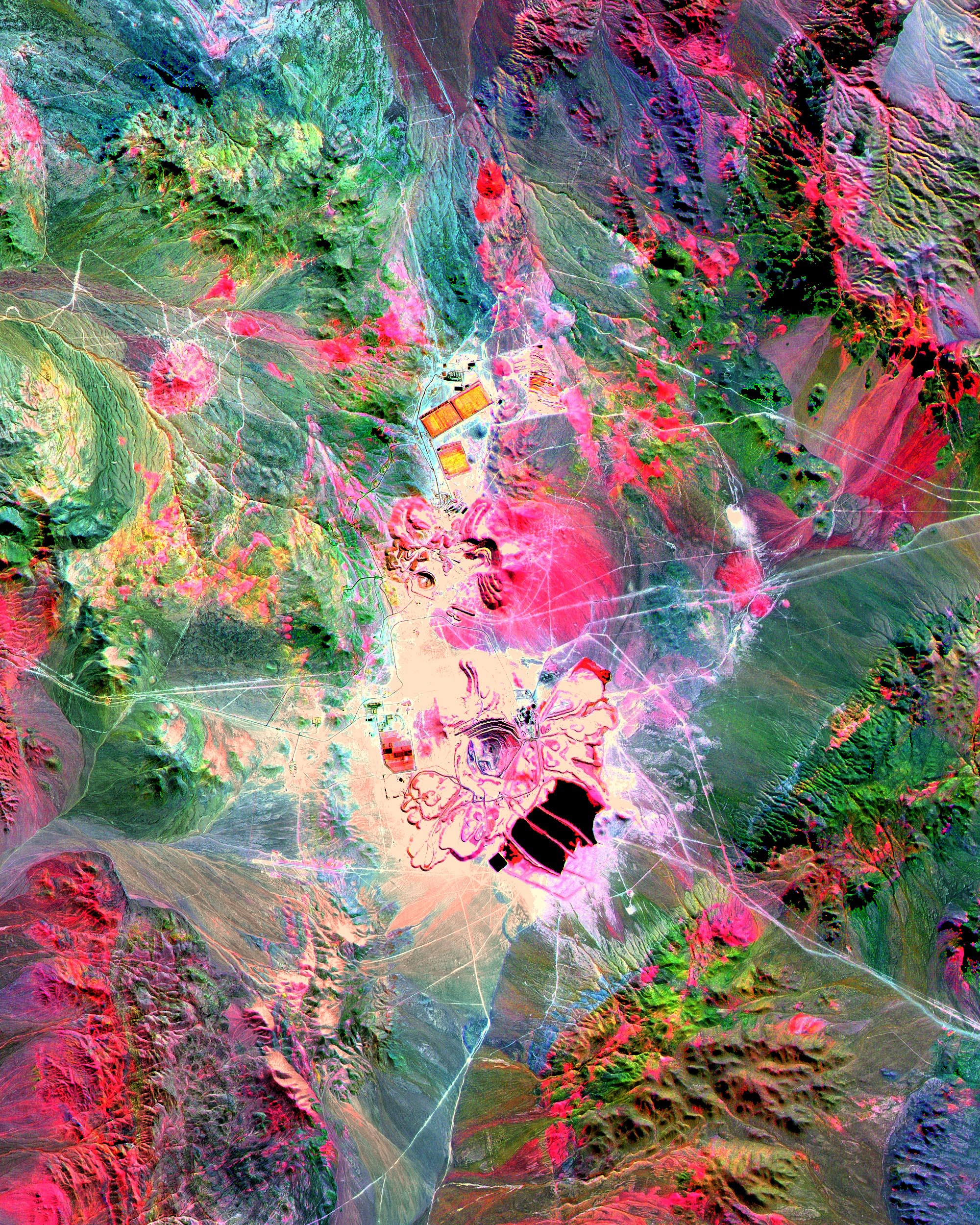
Optical satellites such as SPOT, Pleiades and Landsat Thematic Mapper are useful in providing spectral and spatial characteristics of objects and geological mapping and accelerating the acquisition of geological data. Satellite images coming from multiple band colors sensors allow geologists and exploration managers to interpret wavelengths that cannot be seen by the human eye (near infrared, short wave infrared and thermal infrared) to map the structural features of the earth's surface.
Specific application of mining imagery is Mine Waste Monitoring Map and cross-linked Detect illegal mining activities
Escondida Mine, Chile. Source: ASTER Satellite Images (Satellite Imaging Corporation)
References
http://www.satimagingcorp.com/
Sustainable Development in Africa & Satellites. Technologies and Wisdoms. http://www.satellites-and-africa.com/
Products | Ext. Source | Descriptions | Product Standards | Ref. Project |
|---|---|---|---|---|
|
|
|
|
|
Topic | Description | Keywords | Reference |
|---|---|---|---|
|
|
|
|


This page has no comments.