Inland ice monitoring
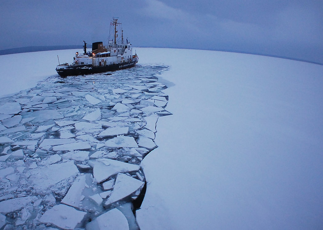
Rivers and lakes represent natural reservoirs of fresh water; their water level and ice cover have also an impact on human economic activity. They are indicators of climate change and environmental status but also factors to take into account for a number of human activities. Ice creates and controls unique aquatic ecosystems and related biological productivity and diversity. It also poses major challenges (for example, flood threats) and opportunities (for example, transportation) for communities.
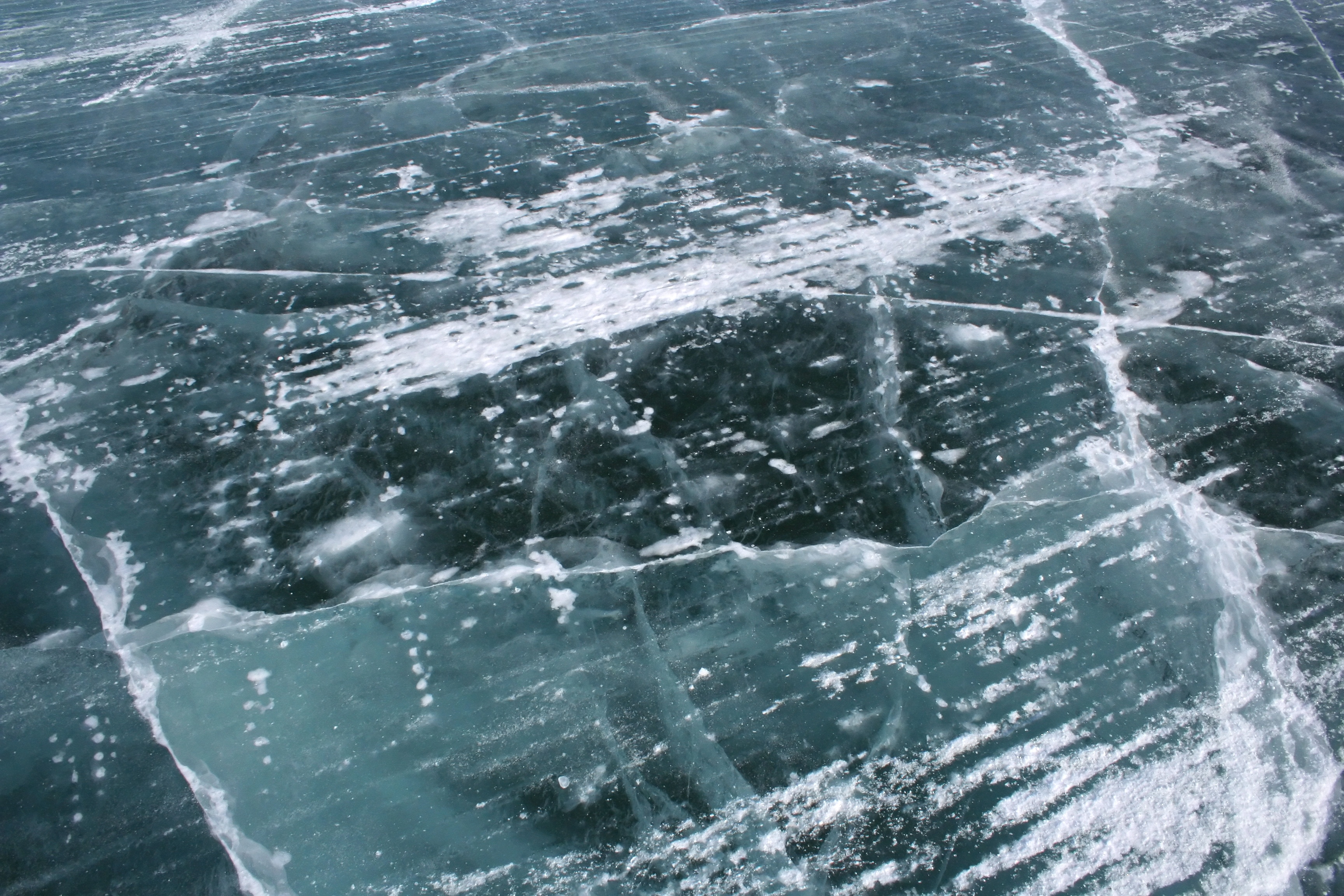
Changes in ice cover are of critical ecological importance for lakes because of their effect on the underwater light levels, nutrient recycling, and oxygen conditions, which influence the production and biodiversity of phytoplankton, and the occurrence of winter fish kills. Less ice may in some cases result in reduced fish kills.
Lake ice reduces underwater light and vertical mixing, that is, the exchange of water from different depth layers. The existence of lake ice, and the timing of lake ice break-up, is thus of critical ecological importance.
Changes in lake and river ice may then affect winter transportation, bridge and pipeline crossings, and winter sports. In Europe there is some evidence of a reduction in ice-jam floods due to reduced freshwater freezing during the last century (1).
Changes in freshwater-ice cover have largely mirrored trends in air temperature, with reductions in ice-cover duration characterized by earlier spring break ups and, to a lesser degree, later autumn freeze ups, particularly over the last 50 years.
Big changes in the timing and duration of the ice season are projected for the future, but our understanding of how climate has affected or will alter the more important freshwater-ice processes (such as ice-cover composition, thickness and break-up dynamic) remains poor. Improving our knowledge of these climate-ice relationships is the key to being able to properly adapt to, or even mitigate, future environmental change (2).
Satellites provide information which is global in scale and relatively low cost: large water areas are covered in a spot and this provide useful data for monitoring activities. The fact that their spatial resolution is greater or equal to the water reservoirs can also represent a difficulty. Recent interesting developments come from the use of radar altimeters and microwave radiometers for observations of large and medium-sized inland waters (3). The ice regime of lakes is determined using a new method based on the analysis of the difference between the brightness temperatures of land and water in summer and winter periods. Re-tracking satellite data significantly improves measurements of the water level. General principles of re-tracking algorithms for complex areas (land, coastal zone, inland waters, etc) based on calculations of the waveforms taking into account statistical inhomogeneity of the reflecting surface adjusted to a certain geographic region (4).
References:
(1) EEA, Lake and river ice cover
(2) UNEP, River and lake ice, in Global Outlook for Ice and Snow
(3) Rybushkina G., Troitskaya Y., and Soustova I. 2014, Water level and ice monitoring of large and middle-sized lakes of Russia.
(4) Troitskaya Y. 2012, Adaptive re-traking of Jason-1 altimeter data for inland waters
This page has no comments.