Product Description
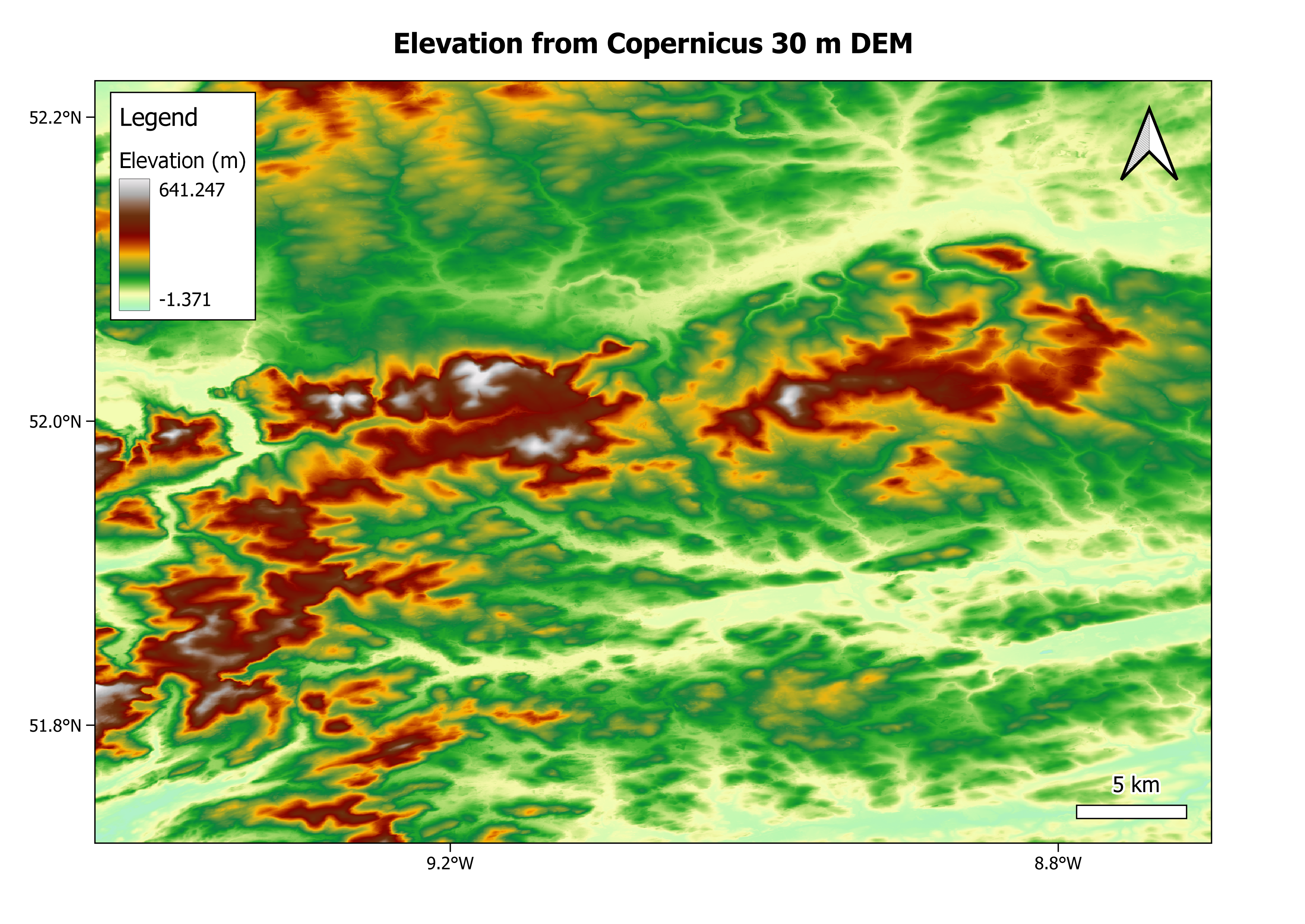
Digital Elevation Models (DEMs) of various resolutions are suitable for many applications across the wind energy sector. These products can provide valuable information in areas such as site selection, risk assessment, flood risk, seismic conditions, geophysical survey planning. DEM products can be either Digital Terrain Models (DTMs) and/or Digital Surface Models (DSMs). The difference being that DTMs represent bare earth including terrain and ground data only, whereas DSMs include all surface features, both natural and man-made, such as trees, buildings etc. Many DEMs are available with varying coverage, resolutions, availability and costs. Some products are static datasets that have been generated from satellite data that has been captured over a fixed period in the past. These include the Airbus WorldDEM Neo which uses data captured between 2017 and 2021 from the TanDEM-X radar satellite operated by the German Aerospace Centre (DLR), and the Copernicus DEMs at 90 m, 30 m and 10 m resolutions, also acquired through the TanDEM-X mission, with latest data releases in 2023. Other products are available on-demand such as the AW3D datasets that are developed and distributed by NTT DATA and the Remote Sensing Technology Centre of Japan (RESTEC). These products are derived from commercial high-resolution satellite data from Maxar Technologies.
Input Data Sources
• TanDEM-X
• Advanced Land Observing Satellite (ALOS), WorldView, Pleaides
Required Processing
DEMs are derived from either optical stereoscopic or radar satellite data. In general, DEM generation requires the combination of two images from the same location. In the case of radar acquisitions, some common processing steps include bistatic focusing, interferogram generation, phase unwrapping and geocoding. In some cases, there are levels of products that are defined by how much editing of the original product is performed. For example, the WorldDEM is provided as a DSM and a DTM. The DSM product is refined from the original DSM through operations applied to ensure hydrological consistency. The DTM is generated by further editing to remove surface features (built-up areas, vegetation) but preserve terrain features.
Coverage and Frequency
• Global: WorldDEM, WorldDEM Neo, Copernicus 90 m, 30 m
• Global but with significant gaps: AW3D Standard
• Europe: Copernicus 10 m
• On-demand: AW3D Enhanced
Resolutions
• Airbus WorldDEM: 12 m
• Airbus WorldDEM Neo: 5 m
• Copernicus DEMs: 90 m, 30 m, 10 m
• AW3D Standard: 2.5 m/ 5 m
• AW3D Enhanced: 0.5 m/1 m/2 m
Accuracy and Validations
Listed here are the absolute accuracies of these products:
• Airbus WorldDEM: 4 m vertical accuracy
• Airbus WorldDEM Neo: 1.4 m vertical accuracy
• Copernicus DEMs: < 4 m horizontal accuracy; < 6m vertical accuracy
• AW3D Standard (without ground control points): 5 m RMSE, 7 m CE90 for both horizontal and vertical
DEM calibration relies on ground control points (GCPs). In the case of the WorldDEM, the Global Land Surface Altimetry Data from the Ice, Cloud and Land Elevation Satellite (ICESat) are used.
Limitations
For radar derived DSMs, heights of objects may be affected by inherent effects such as signal penetration beyond the top of tree canopies or several meters into ice sheets.
Delivery Format
GeoTIFF
Accessibility and Cost
TanDEM-X derived 90 m and 30 m products are available at EOC Geoservice TanDEM-X. The 10 m Copernicus product has restrictions on access (see here). Airbus DEM products are available commercially at varying costs depending on the resolution/accuracy of the product as well as the size of the area of interest. The same is true of the on-demand products.
This page has no comments.