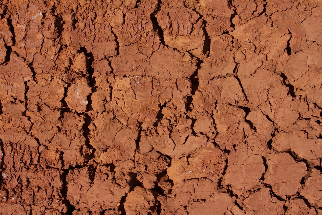
 Droughts have significant impacts both on local economies and on natural ecosystems. In already difficult economic and social situation they can have disastrous effects, generating hunger, social instability and large scale migration. Remote sensing and geographic information systems are very useful in identifying anomalies and putting in place early warning activities. The information provided through satellite data improves drought protection, preparedness, mitigation and relief. Even in less adverse situation being able of predicting drought, and manage water use accordingly, can generate major savings and facilitate activities for decision makers, ministries and farmers' organisations.
The monitoring systems take into account (1):
- crop installation phase and rainfall estimation images
- precipitation evolution to determine rainfall deficits and surpluses and assess the impact on crops and grazing land
- vegetation growth monitoring
- grazing conditions around the main water points
- plant production maps quantifying available biomass
The combination of satellite and field data is crucial for the early identification of drought. It makes it possible to assess the impact on agriculture well before the harvest in order to facilitate decisions concerning water management and food security. Satellite imagery has many advantages on ground-based data, which are sometimes difficult to collect and require time-consuming aggregation processes. Continuity of observations, the possibility of viewing large geographical areas at various scales, the availability of archive data to make comparisons and identify trends are all crucial requirements for a good drought monitoring service.
Satellite sensors are being used routinely for the last 20 years to monitor vegetation and detect the impact of moisture stress on vegetation. Different approaches are available to monitor and predict drought, based on surface energy balance and the definition of a drought severity index or on soil moisture retrieval (2).
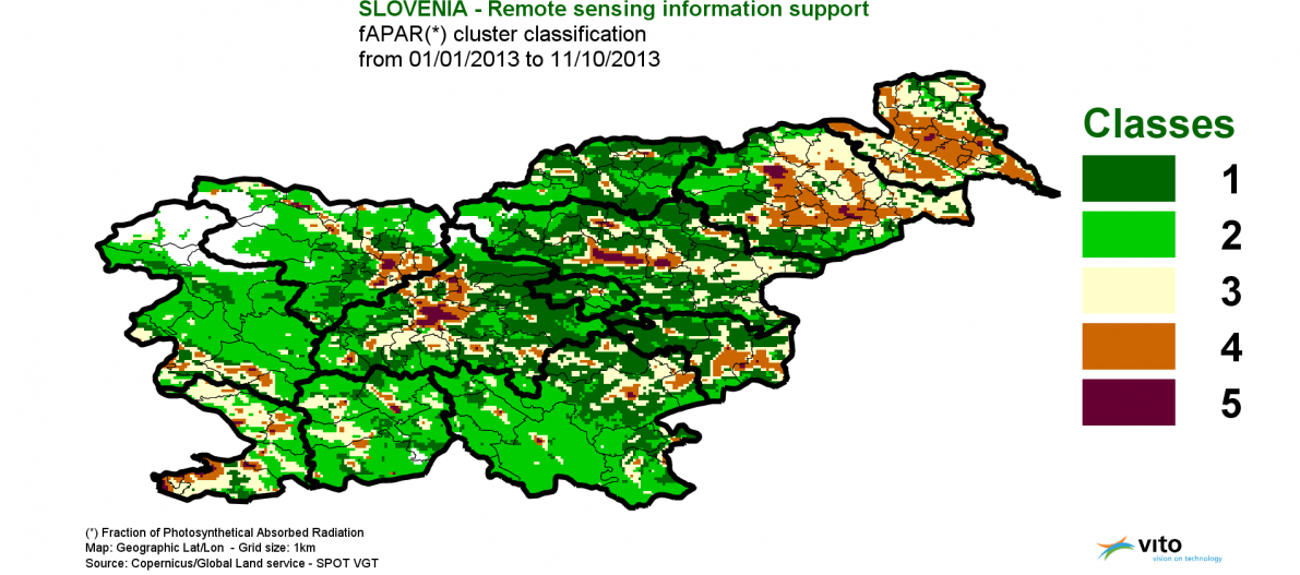
Satellite based drought indicators are for example the Normalised Difference Vegetation Index (NDVI), which quantifies the amount of green vegetation, the Vegetation Condition Index (VCI) and the Palmer Drought Index (PDI), based on a supply-and-demand model of soil moisture.
References
(1) Sustainable Development in Africa & Satellites. Technologies and Wisdoms.http://www.satellites-and-africa.com/
(2) https://earth.esa.int/documents/973910/992126/su3.pdf
(3) http://land.copernicus.eu/global/
This page has no comments.