Wind energyWind power has been harnessed for centuries, fostering technology evolution from windmilles to wind turbines, which can be used to generate electricity. A report released by the European Wind Energy Association in February 2014 identifies 117.3 GW of installed wind energy capacity in the EU: 110.7 GW onshore and 6.6 GW offshore. The EU’s total installed power capacity increased by 13 GW net to 900 GW, with wind power increasing by 11.2 GW and reaching a share of total installed generation capacity of 13%, up one percentage point compared to the previous year. (1) Given the target of 20% European energy coming from renewables it is clear that every technology including the efficiency of wind energy represent a crucial step in this direction. At a more general scale the global efffort towards greenhouse gases emission reduction calls for an increase in alternative energies use. Earth observation data are useful both in the design and in the operations and maintainance of wind farms. Land application can help for example in choosing the best location for wind turbines, in terms of safety and efficiency. The same goes true for data which can provide information about wind speed. | Section |
|---|
Offshore wind farms| Column |
|---|
| European countries are leading actors in offshore wind energy production. These farms are generally more accepted in terms of environmental impact and have higher potential in terms of energy production since winds are generally stronger over the ocean due to the lower friction they encounter over water. The design phase has to identify those areas where winds blow continuously at high speeds. Satellite data are useful in this respect. A US research group financed by NASA has created maps using nearly a decade of satelllite data that reveal ocean areas where winds could produce wind energy.The new maps have many potential uses including planning the location of offshore wind farms to convert wind energy into electric energy. Microwave radar instrument can be used to track the speed, direction and power of winds near the ocean surface. (2) |
| Column |
|---|
| 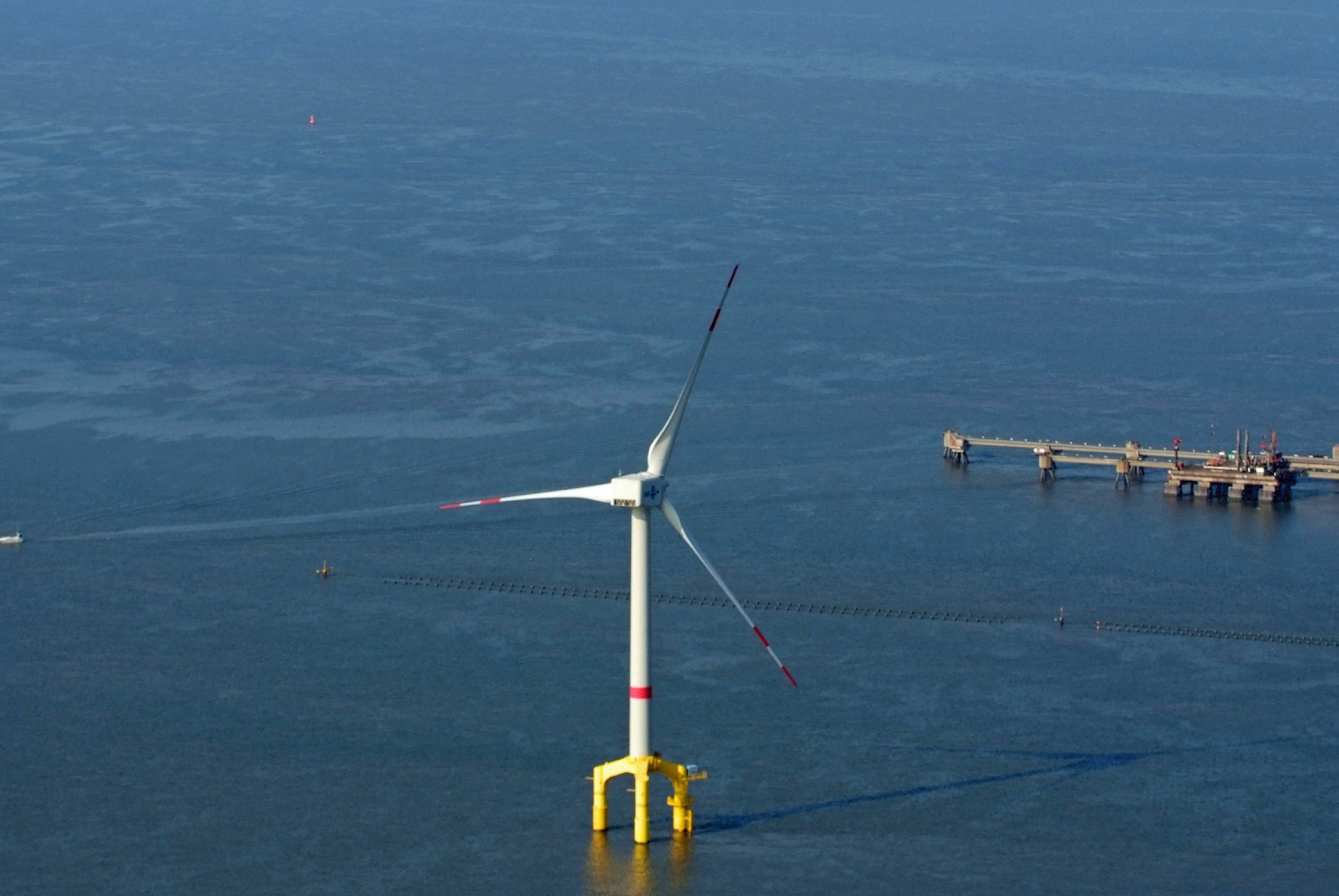
Offshore wind turbine. (Author: Martina Nolte) |
|
References (1) http://www.ewea.org/fileadmin/files/library/publications/statistics/EWEA_Annual_Statistics_2013.pdf (2) http://www.nasa.gov/home/hqnews/2008/jul/HQ_08170_Ocean_Wind_Energy.html | 