Map and monitor hydropower resources and infrastructuresHydroelectric energy is produced exploiting hydropower, that is the power generated through the gravitational force of falling or flowing water. It has several advantages which makes it the most widely used renewable energy source: it is flexible in adapting to changing demand level, it is relatively cheap and suitable for industrial use. Dams can also have additional purposes but they are sometimes subject to critics because of ecosystem damage and land loss. According to the Worldwatch Institute, the Asia-Pacific region generated the 32% of global hydropower in 2010, while Africa was the area contributing the least, but with the greatest growth potential. Interestingly, there were four countries (Albania, Bhutan, Lesotho,Paraguay) which in 2008 produced all their electricity from hydropower and 15 others which generated the 90% of their electricity from this source. The largest producer per capita were Iceland, New Zealand and Norway. (1)
According to the International Energy Agency, electricity generation from hydropower and other renewable energy sources is projected to increase at an average annual rate of 1.7% from 2004 to 2030, for an overall increase of 60%. (2) |

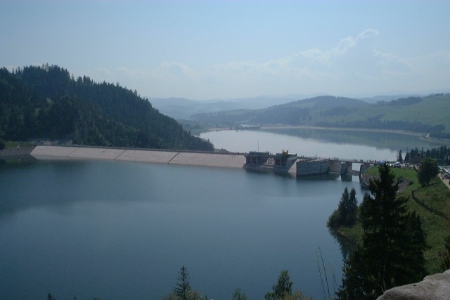
Hydroelectric power plant. Poland, Czorsztyn. |
|

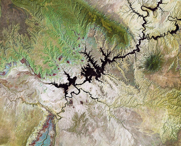
Landsat image showing Lake Powell, an artificial lake created by the construction of the Glen Canyon Dam (US). © USGS/ESA |
Earth observation satellites provide useful data to monitor water reservoires, dams and hydroelectric plants. Land applications of remote sensing provide important inputs both for the design and maintainance of infrastructures. Hydrometereological and climatic data can instead be used to forecast and monitor weather-related events, which represent important factors related both to the power generation and to the infrastructural stability.
Droughts and particularly hot periods can strain the available power supply and force energy rationing in the most interested regions. (3) Remote sensing also helps in monitoring floods, managing the different phases of the phenomenon, from risk assessment to disaster management in case of big events. |
|
Satellite data, integrated with other measurements in GIS softwares, will also be used to locate the best locations for micro-hydropower turbines in the UK. The objective is to make sites identification quicker and cheaper, increasing the smaller scale greener technology availability. (4) This type of power plants have a capacity of 100 kilowatt or less and has grown of importance worldwide, being effective means of providing electricity to communities far from industrial centers. Small hydropower is likely to provide higher contribution to global energy capacity especially as populous countries continue to pursue rural electrification. (1) Resources (1) Worldwatch Institute, Use and Capacity of Global Hydropower Increases (2) http://www.unesco.org/new/en/natural-sciences/environment/water/wwap/facts-and-figures/all-facts-wwdr3/fact-6-hydropower/ (3) http://www.hydroworld.com/articles/2014/04/satellites-could-help-brazil-s-hydroelectric-power-operators-forecast-weather-patterns.html (4) http://www.waterpowermagazine.com/news/newssatellite-data-to-pinpoint-micro-hydro-sites-4214317 |