During the design and construction phase of a mining project the data gathering process is required to gain a full understanding of the site, hydrogeology, hydrology, catchment area, access routes, ground conditions such as underlying geology, soils and ecology. A complete understanding of the site and access is required, and, in some cases, this can be considerable. Traditional surveying and ground assessment techniques are used, and in recent times an increasing amount of this information is gathered using earth observation techniques and products.
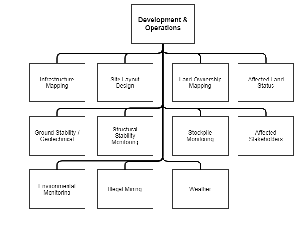
Once a mine is operational, information is critical to ensure safe productive production is achieved. Key requirements for mine operators and regulators for acquisition of data during a mining cycle include:
- Surface mapping for subsidence monitoring
- Structural geology and geotechnical information
- Open pit surveys
- Ore and waste dump monitoring
- Water management – flows, changes to water courses, etc.
- Air quality
- Soil quality
- Pollution control
- Land use changes
- Illegal mining operations
Traditional methods, such as aerial photography and ground-based sampling and surveying, are being enhanced with various earth observation techniques.