Page tree

Versions Compared

Key

  • This line was added.
  • This line was removed.
  • Formatting was changed.
Comment: column added

...

Content Layer
id368502293


Content Column
width25%20.0%
id443844621


Content Block
id443844625


Search Box
space@EO4I


EO4I provides a comprehensive guide to geospatial Products using EO data dedicated to meeting the needs (challenges) of the AgroInsurance Industry.


EO4I is the forum for information exchange between the Agro-Insurance and geoinformation professional communities.

Restrict Content
groupsconfluence-administrators
Viewtracker
renderusernamesfalse


Content Column
width7560.0%
id368502307


Content Block
overflowhidden
id502494012
Section
Column
width300px


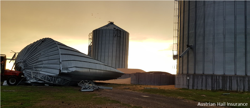
Heat waves, droughts, frost, hail, storms – such extreme weather events strongly affect agriculture and are more likely to occur due to climate change. The damages left behind affect large areas and leave an enormous monetary harm. In 2018 a total loss of 270 million euros was recorded in Austria.

There is a need for insurances to obtain objective information for large areas and remote fields, to record crop development and distinguish crop damages and to quickly estimate the impacts and process insurance indemnity payouts in a timely manner.

The ESA Earth Observation Best Practice for Agro-Insurance (EO4I) project will assemble functionality for both, the Agro-Insurance and EO industry sector, to assess the current requirements and future needs. A best practice roadmap will be provided in 2020, highlighting how exactly remote sensing can help to tackle the challenges of agricultural insurance industry.


Content Block
padding0px
id368502286
height320px

Rotate Content
source-pageEO4OG Rotator
non-randomtrue
controls-horizontal-positionleft
controls-vertical-positionbottom
controls-horizontal-margin20px
controls-vertical-margin20px


Content Column
width20.0%
id408376940
Content Block
id408376951