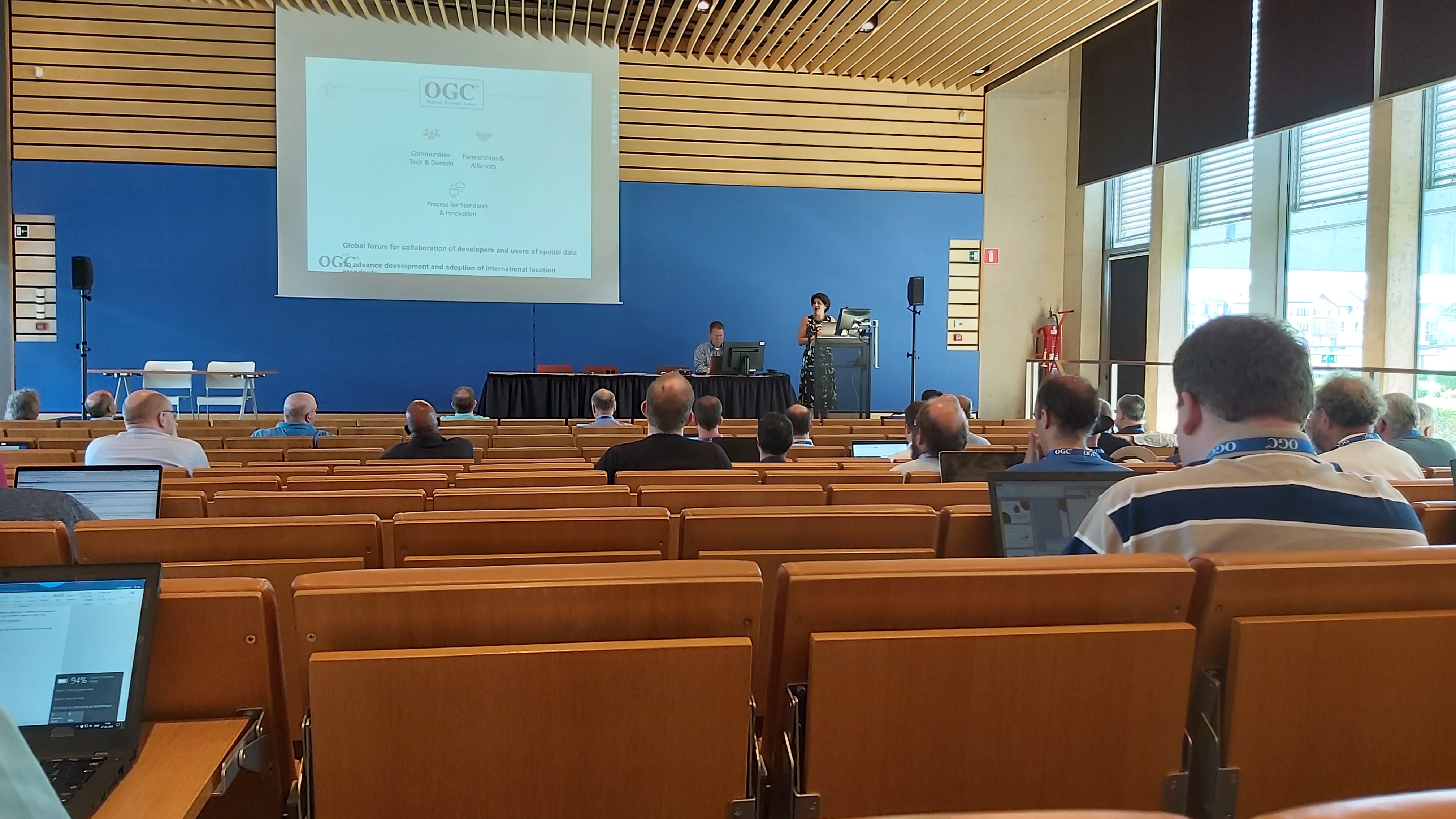
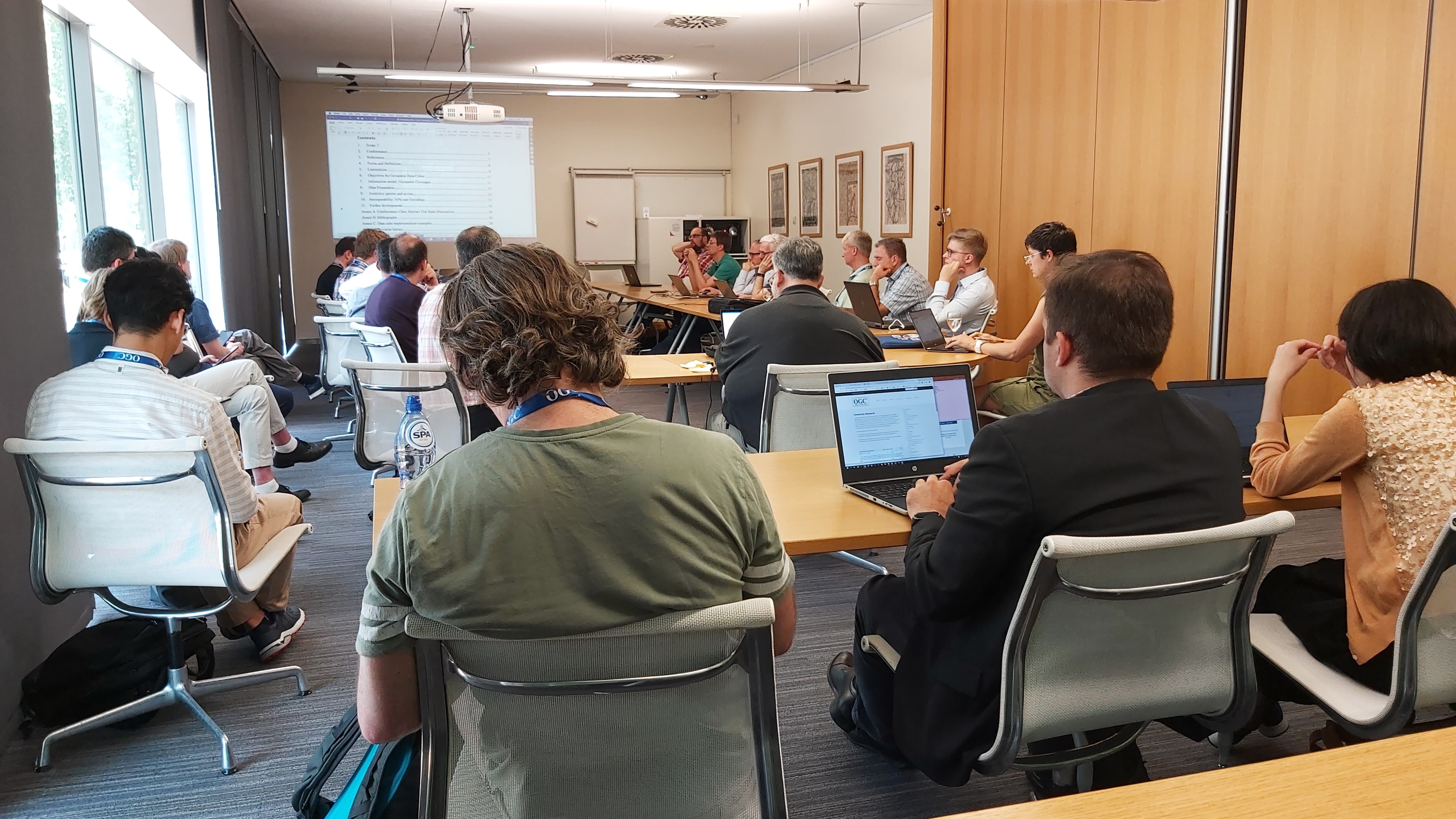
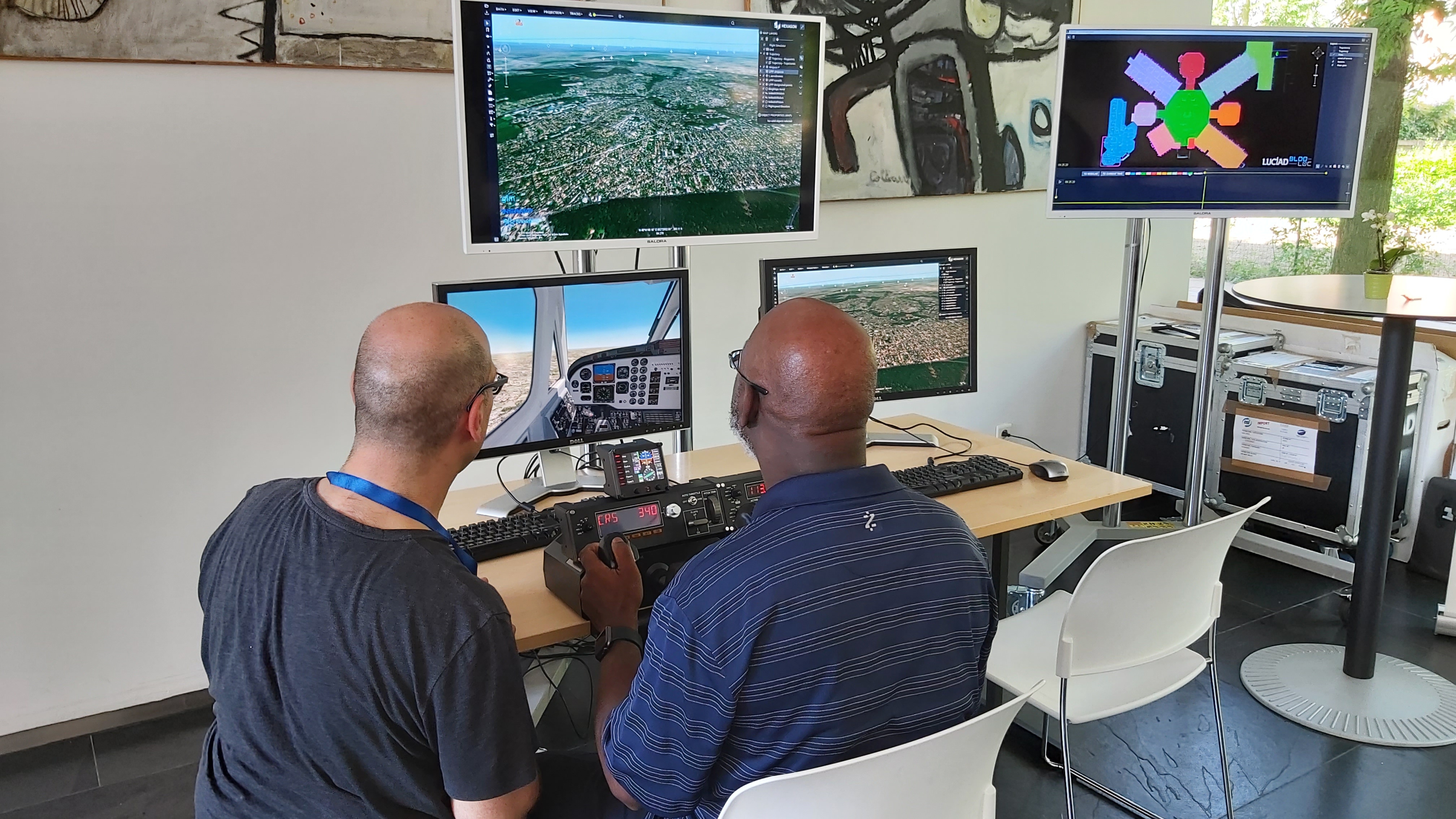
EOEPCA Architect, Richard Conway, is this week in Leuven, Belgium participating in the OGC's 111th Technical Committee meeting (24th - 28th June).
It has been a full week of parallel technical sessions, including Domain Working Group (DWG) sessions that Richard attended relating to Coverages, EO Exploitation Platform, Point Cloud, Architecture, QoS, GeoAI, Big Data, Met Ocean, WPS/Workflow, Security - plus a session summarising the activities of the OGC Innovation Program.
Some pictures below of the sessions:
EOEPCA team member and all participants were treated to an evening reception hosted by the City of Leuven with some local beers in the Gothic Town Hall.
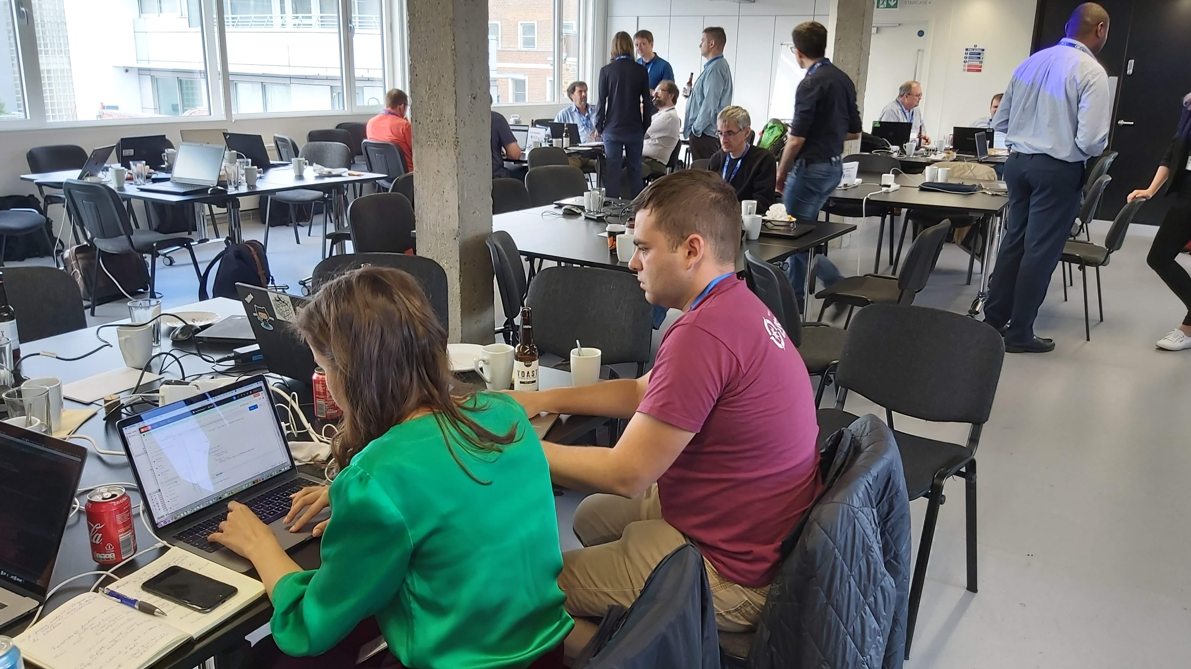
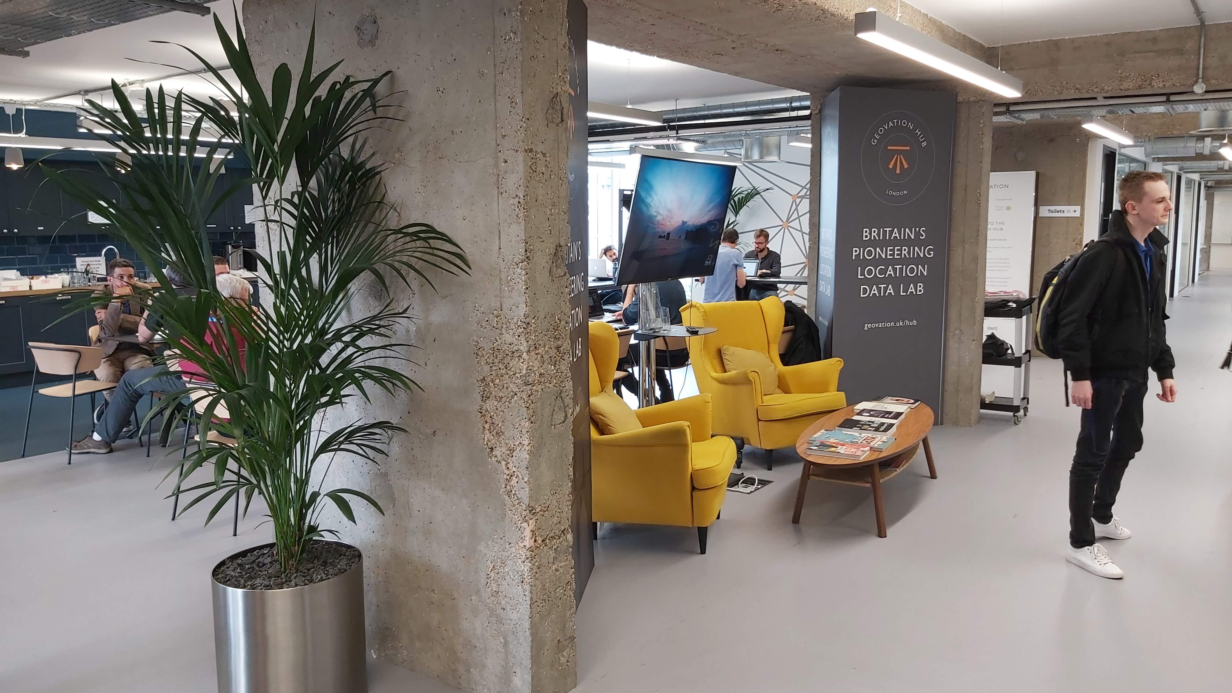
The Open Geospatial Consortium (OGC) organised a Hackathon to develop OGC Application Programming Interface (API) specifications. The event took place in London on the 20th and 21st of June.
This hackathon tested the draft OpenAPI-based standards for coverages, map tiles, processes using a common template based on the OGC API for features.
EOEPCA Technical Architect, Richard Conway from Telespazio Vega UK, participated in the session on Thursday 20th of June.
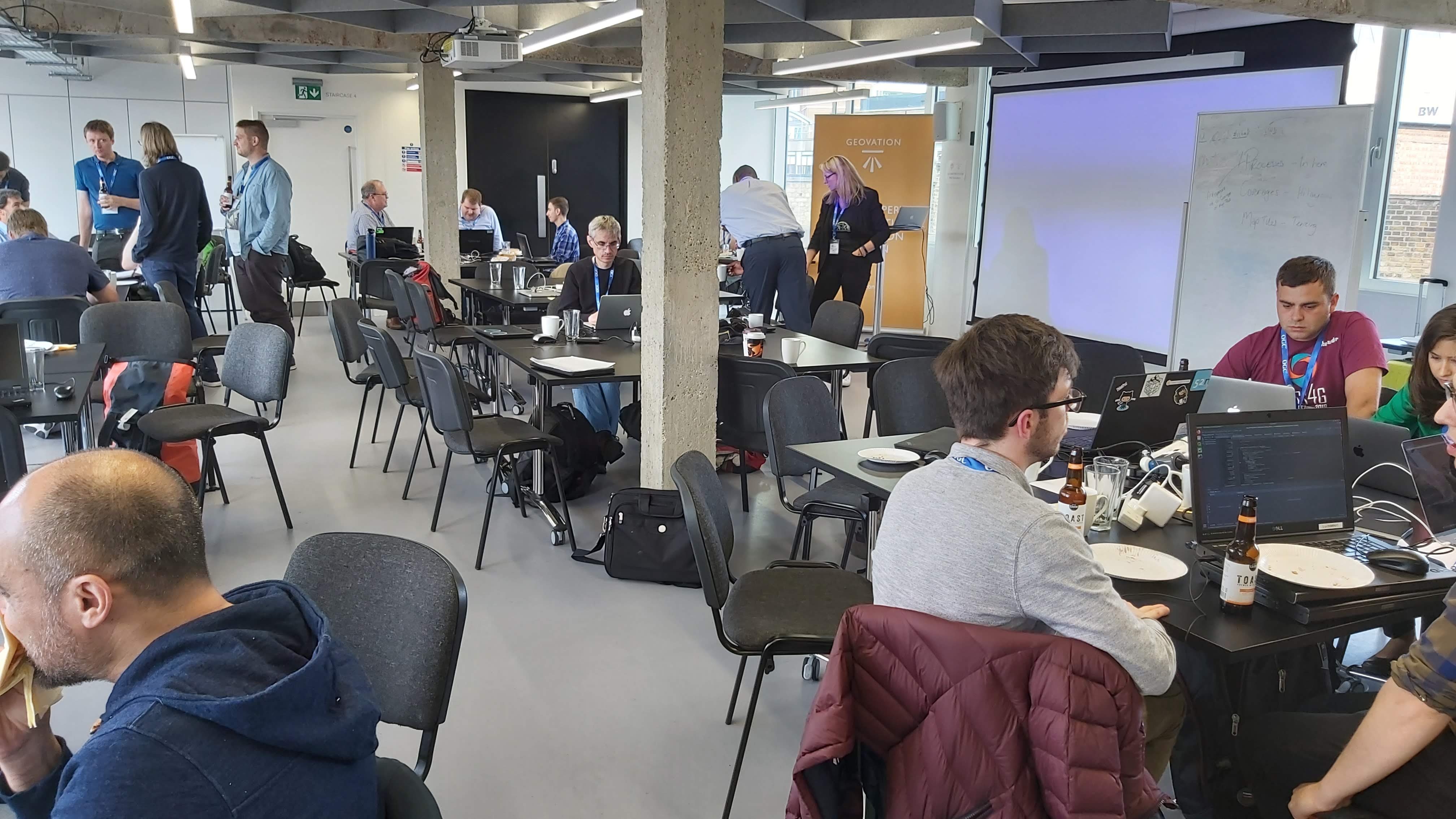
The event was instrumental to the evolution of the OWS standards to a modern API based approach, setting the course for open geospatial standards for the next decade. The hackathon was organized around:
- Coverages
- Map Tiles
- Processing
The Agenda for the event can be found at https://portal.opengeospatial.org/files/?artifact_id=83865
The outputs of the hackathon inform the development of the OGC API - Common standard, the OGC API - Features standard, OGC API – Processes standard, the OGC API – Coverages standard and the OGC API – Map Tiles standard.
The Hackathon concluded with a session on Friday afternoon where the outcomes of the event were discussed.